 December 31,
2010
December 31,
2010
 |
 |
 |
| Squall
Line Approaches |
Lowering
with Scud Fingers |
More
Lowerings |
 |
 |
| Lowering
Has "That" Look |
Lots
of Scud Rising |
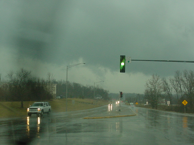
An end of the year surprise was in store as we awoke to on-going tornado warnings in southwest Missouri. A couple of cells remained tornadic as they came up the Interstate 44 corridor over the next several hours laying down several tornadoes along the way. As those cells neared St. Louis, I was torn between staying at home because the circulations were buried in the squall line wrapped in rain and moving at the ridiculous speed of 55+mph or taking a chance in hopes of getting lucky and being in the right spot at the right time while knowing there probably wouldn't be another chance for tornadic storms again until the spring. So when it entered St. Louis County and remained strong and had a few breaks in the line, we made the last minute decision to head across the Mississippi River ahead of the storms and just see what would happen from there. My daughter Missy, my son Ryan, and I tracked the direction of the strongest storm and with a quick wi-fi check in Granite City, IL along the highway, we set ourselves up to watch the cells go by. This was the cell that unknown to us, put down the EF3 tornado minutes before across the river in St. Louis County. Unfortunately, at the time it reached us and crossed Interstate 270 where we were, the cell had calmed down and passed without even so much as a distinguishable circulation, although some scud fingers were observed on the bowhead of the line. We continued to play tag with the entire squall line all of the way to Greenville, IL before we gave it up and headed home. A very difficult chase with the circulations embedded in the line, storm speeds at 55+mph, with very little on-board data to keep track of exact locations of each spin up.
3.5 hours, 126 miles.
|
Click
on the link below to see video of
some of these storms.
|
|
Summary 2010 Page |
Return
to the Storm Index Page |