That storm
quickly weakened and we
headed back toward Highway
61. We paused trying
to figure out what the next
move would be as now none of
the storms were looking that
impressive other than one
many miles to the southwest
that was out of our
range. The decision
was should we go to Illinois
and hope that the boundary
kicks them off over on that
side of the river, or stay
on 61 hoping that the storms
that no longer looked very
impressive would get new
life in them. After
grabbing some phone data
again while sitting in
torrential rain, we turned
onto the on-ramp to 61
south. Halfway down
the ramp, we pulled off on
the side as we saw a massive
amount of water going down
the drainage ditch and then
spilling onto the
ramp. We ended up
watching it for a few
minutes and waited as the
core of the storm we had
just left, went right over
the top of us. Along
with the heavy rain, the
core dropped up to dime size
hail.
When
we took off
again, there
was talk about
how the day
may be over
and we would
just start
heading back
home. Lo
and behold, a
few minutes
later, the
storm right in
front of us
wraps itself
up again and
becomes
tornado warned
again.
We were on the
north side of
this which
meant we were
constantly
trying to work
our way
through the
rain, but not
drive right
into a
potential path
of a tornado
that we knew
would be
crossing the
road in front
of us.
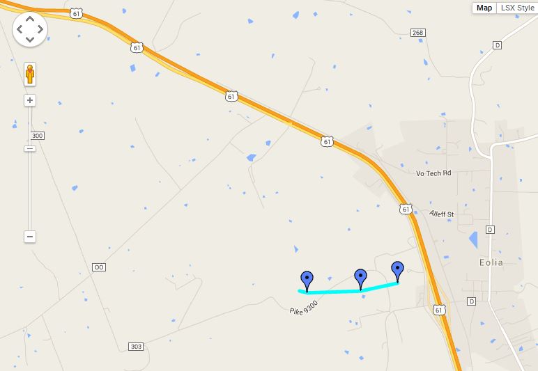
As we
approached
Eiola, MO at
the County
Road WW, we
watched the
ominous funnel
cloud and
noticed that
as it crossed
the road, a
partial tube
and debris
cloud marked
its crossing
point.
It blew an 18
wheel truck
that had just
passed us a
minute or two
earlier, right
off of the
road. A
little further
down the road,
another area
of strong
circulation
was
occurring.
Both areas
have been
confirmed by
the Weather
Service as
having a
tornado
touchdown.
As both
areas passed, weakened, and
went out of sight in the
wrapping rain, we were given
a great show of different
storm structures as we made
our way back down Highway 61
toward Interstate 70.
We made the
loop from Highway 61 back to
Interstate 70 to head back
home, but the clouds
continued to catch our
eye. At the front end
of the shelf cloud, there
was a lowering that began
rotating really hard.
We stopped to watch it
several different times, but
by the time we got to the
Mid Rivers Mall Exit, we got
off and turned left and
moved down to Spencer
Road. As we
approached, Ryan yells out
"Large Tornado on the
Ground". Sure enough
and at that point, the
camcorder runs out of
battery and we had forgotten
the charger/power
cord. Only managed a
few shots of the tornado as
we scrambled for another
option. We got onto
370 and moved along side of
the tornado.
Visibility was again poor as
it was most of the
day. Wrapping rain
made us lose sight of the
tornado and when it
reappeared, we discovered it
was crossing the road right
in front of us, side swiping
us. The car rocked
back and forth a bit, but
managed to not tip.
Since we were the only one
on the road, I put it in
reverse and moved the car
back several hundred feet to
get us out of danger.
As
we lost track
of that
rotation, we
looked to the
south and
noticed
another
lowering and
pursued that
into the St.
Louis metro,
but being
behind it and
running out of
light, we
quickly gave
up on
following it.
All
in all, a good chase with many
highlights.
storm
Total -
230 miles
 June 28, 2015