We took a chance with a
chase opportunity that was setting up
in eastern Kansas / western
Missouri. My son Ryan and I
headed out mid morning to meet up with
Brian Stertz after he got off of work
in the mid afternoon.
After picking up Brian,
the target was now Chanute, Kansas.
The
morning MCS convection
stabilized the
atmosphere in the
original target area
closer to Kansas City,
Missouri and forced us
to move the target
more south and
southwest into
southeast Kansas.
As we
neared the target
zone, we played the
area southeast of
Chanute, nearer to
Parsons, Kansas.
Storms were
anticipated around
6:00pm, but as we
arrived in the area,
storms began firing
around 4:00pm.
We worked our way
toward what looked
like a growing,
healthy storm heading
for Thayer,
Kansas.
As we
worked our way toward
it, the storm began
evaporating and soon
was completely
gone. Several
more storms went up in
the area only to see
the same result, hard
towers going up, then
a gradual demise to
nothing.
It
wasn't until later in
the evening that
storms finally went up
and stayed up.
We latched on to a
cell to our west
coming out of Elk
City, Kansas.
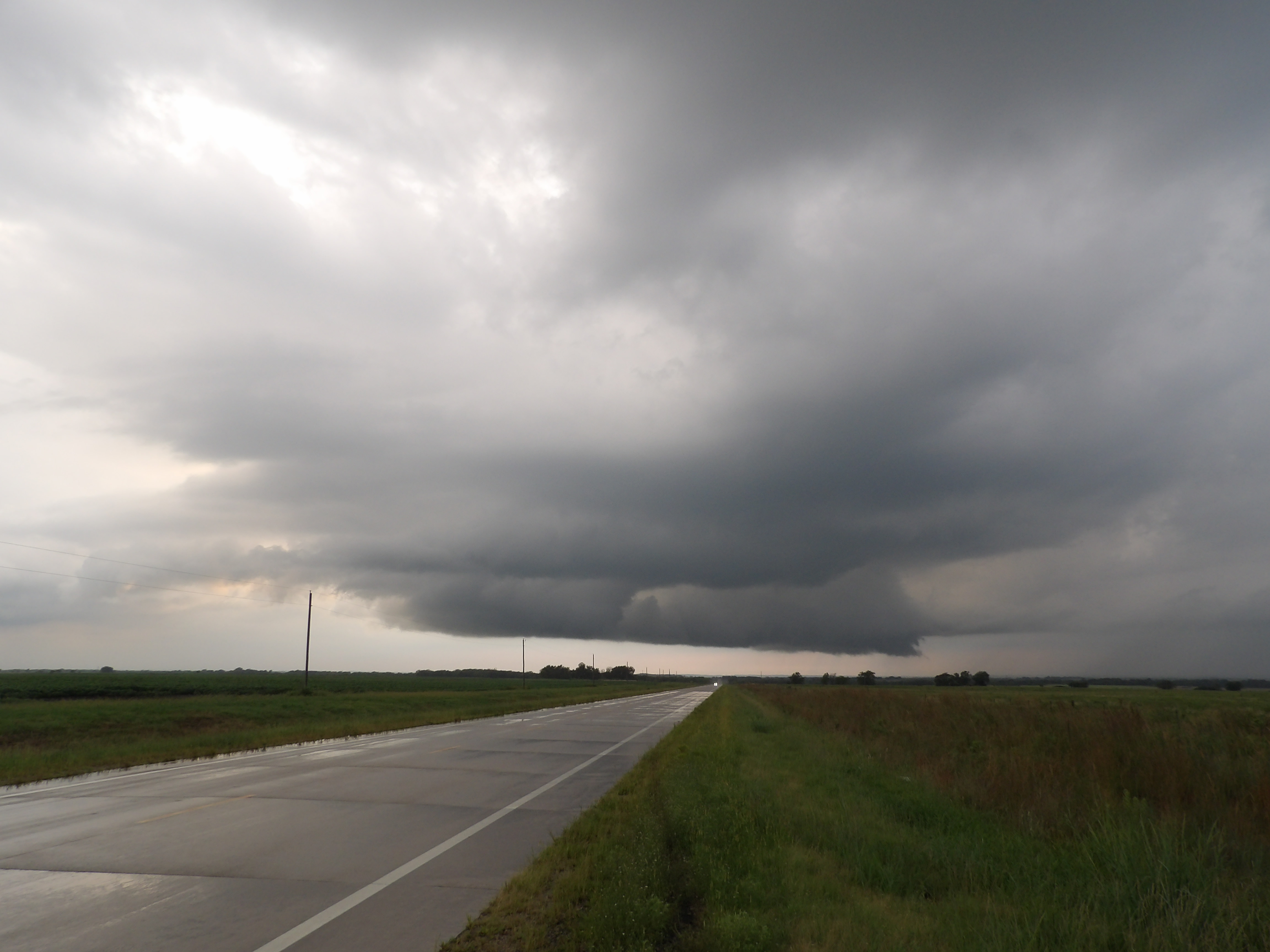
The storm grew and
eventually matured
into a supercell with
a lowered base and a
wall cloud. The
wall cloud had some
decent rotation, but
could never produce
enough spin to garner
a funnel or
tornado.
As
has been the case
for nearly every
chase in 2019, we
targeted storms
that failed to
produce, yet 30
miles away, the
storm produces a
confirmed
tornado.
Since the light of
day was fading
away, chasing the
storm producing
the tornado was
not a feasible
option. We
also concluded
that storm was a
high precipitation
storm that would
be hiding the
tornado.
Total
Trip - 889
Miles
|
Click
on the link below to see video of some
of these storms.
|
 August 26,
2019
August 26,
2019