My
son Ryan and I were keeping an eye on a severe
weather opportunity, and better yet, on a
Sunday. Although the tornado threat
appeared to be on the low side, after
consulting with Brian Stertz, we decided to
take the chance and head up to the threat area
around the Iowa / Missouri border. We
also put together a wildlife alternate plan in
case the storms didn't pan out.
We
grabbed lunch in Hannibal, Missouri and then
headed for our target of Albina, Iowa.
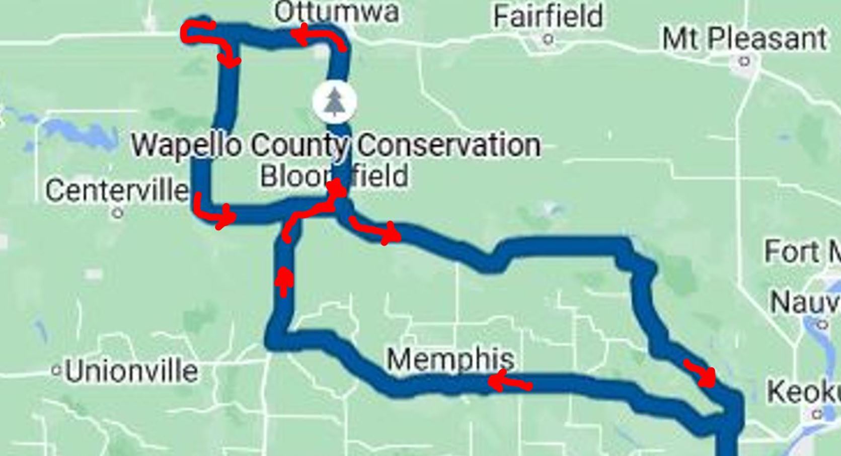
As we moved north near the Iowa border, we
made the decision to take Highway 136 west
just on the Missouri side of the border and
the then move north out of Lancaster, Missouri
toward Ottumwa, Iowa.
Just
outside of the city limits of Ottumwa, Iowa,
we came upon the entrance to the Wapello
County Conservation Area. Since we were
early and no storms were brewing, we turned in
and spent some time driving through and
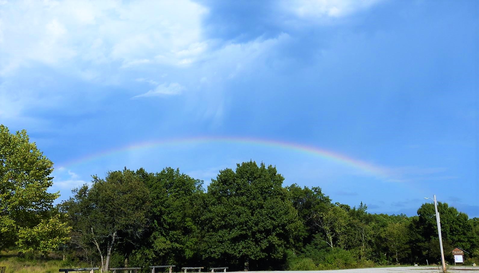
exploring. As we were getting ready to
leave, a brief rain shower developed overhead
and the result after it passed was a low
hanging rainbow.
This was our clue to head to
our target as the storms began to
develop, so we drove a few miles north
to Ottumwa, then west toward
Albina. We continued to watch the
radar and took note of some explosive
development to some storms to our
southwest just to the north of the
Missouri / Iowa border as we continued
traveling west. It became obvious
that we would not be able to reach
Albina and then get ourselves back south
in time to get in front of the
storm. We flipped the car around
to head back east and took the first
road that got us south to Highway 2
which was the east/west highway right
along the border and in the path of the
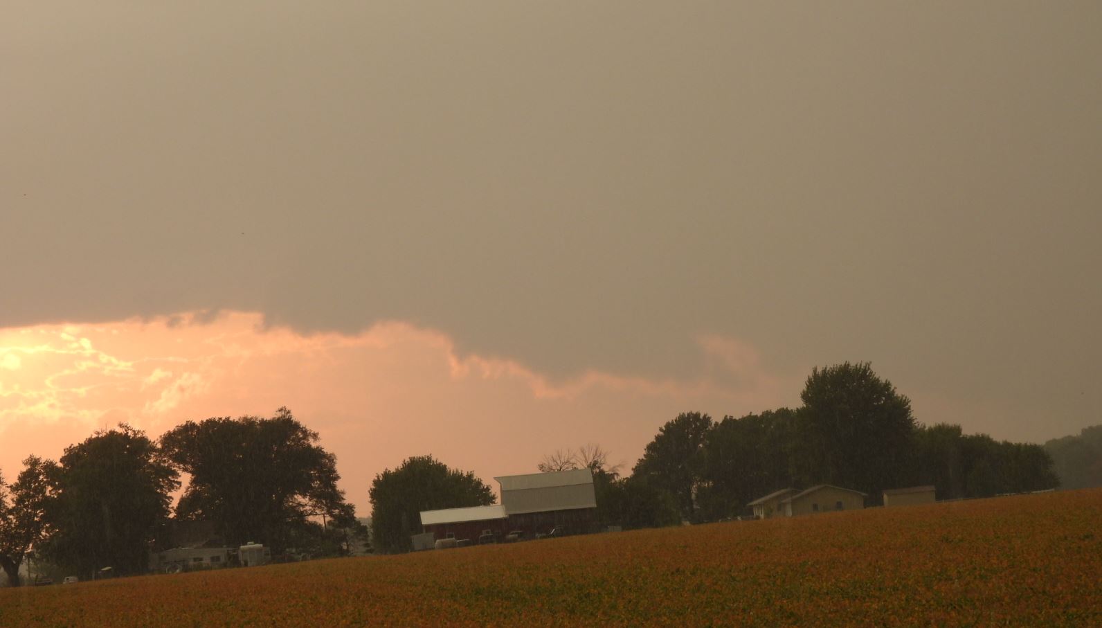
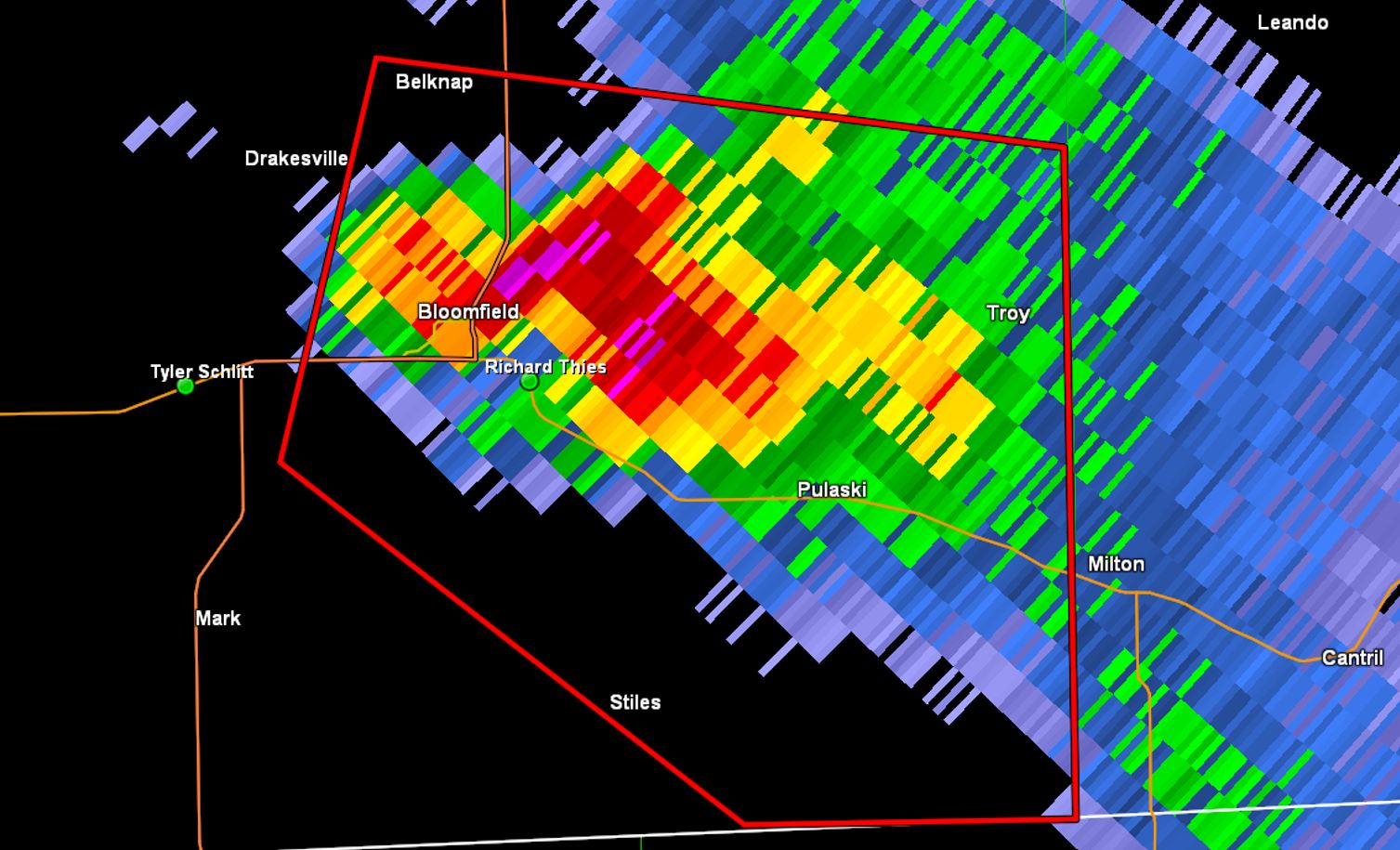
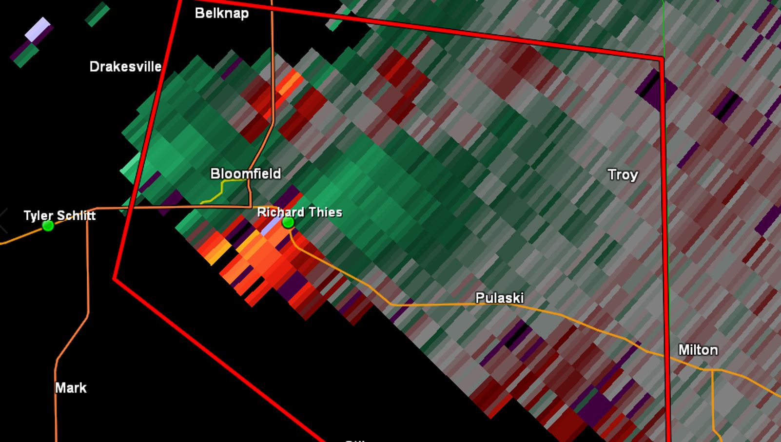
approaching storm. We got there
ahead of the storm and were rewarded
with a decent view into the business end
of the storm.
-- Click on Images to Enlarge --
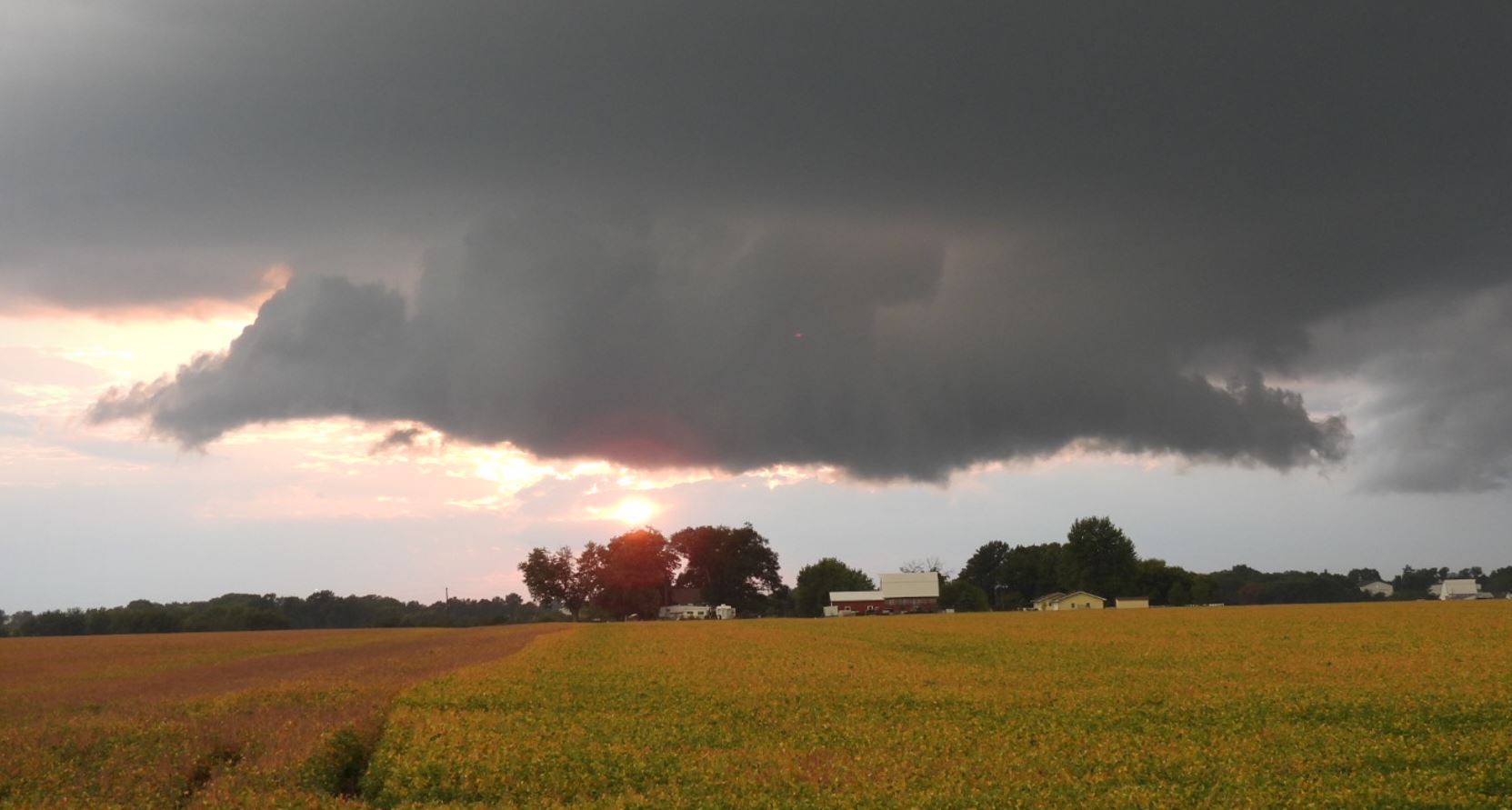
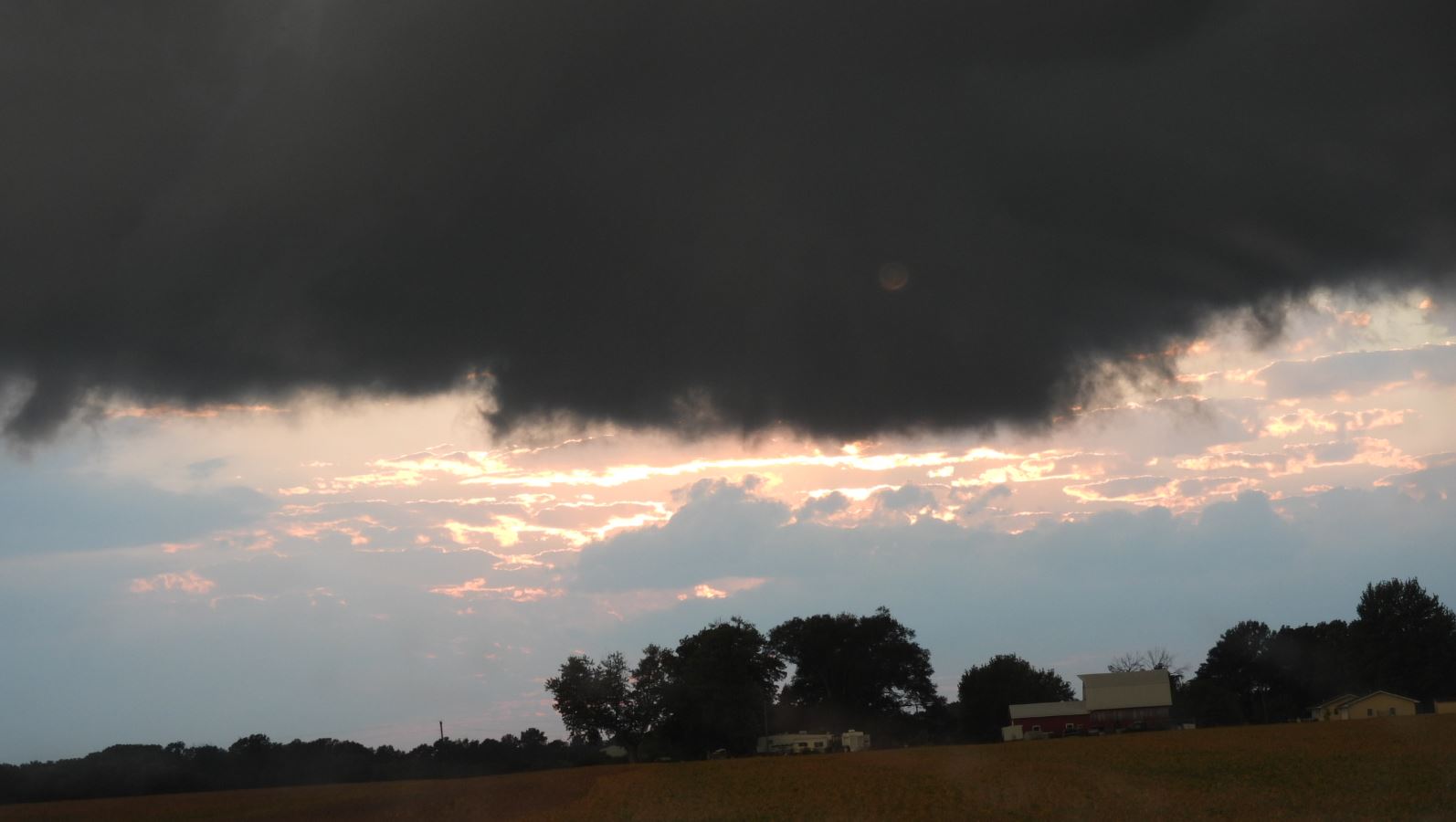
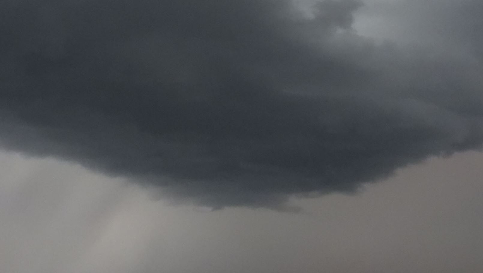
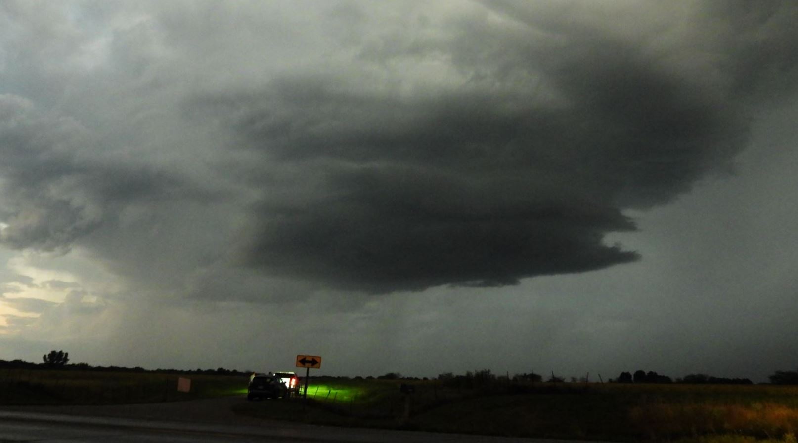
The storm moved right at us and we clearly could
see the rotation at the cloud base. As we
watched it approach, the storm also became
tornado warned.
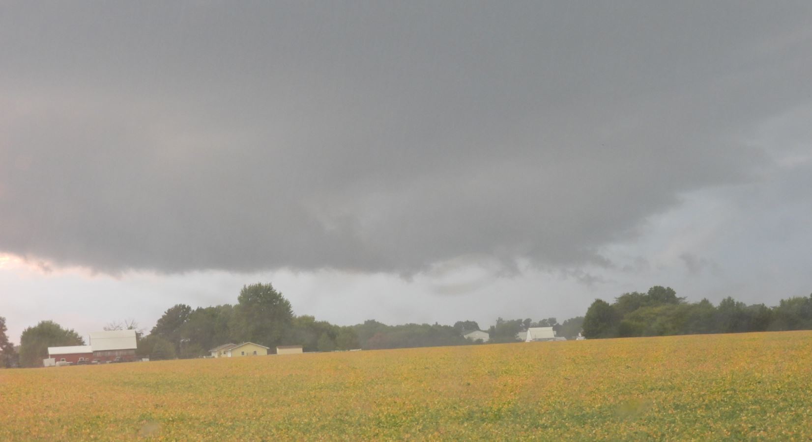
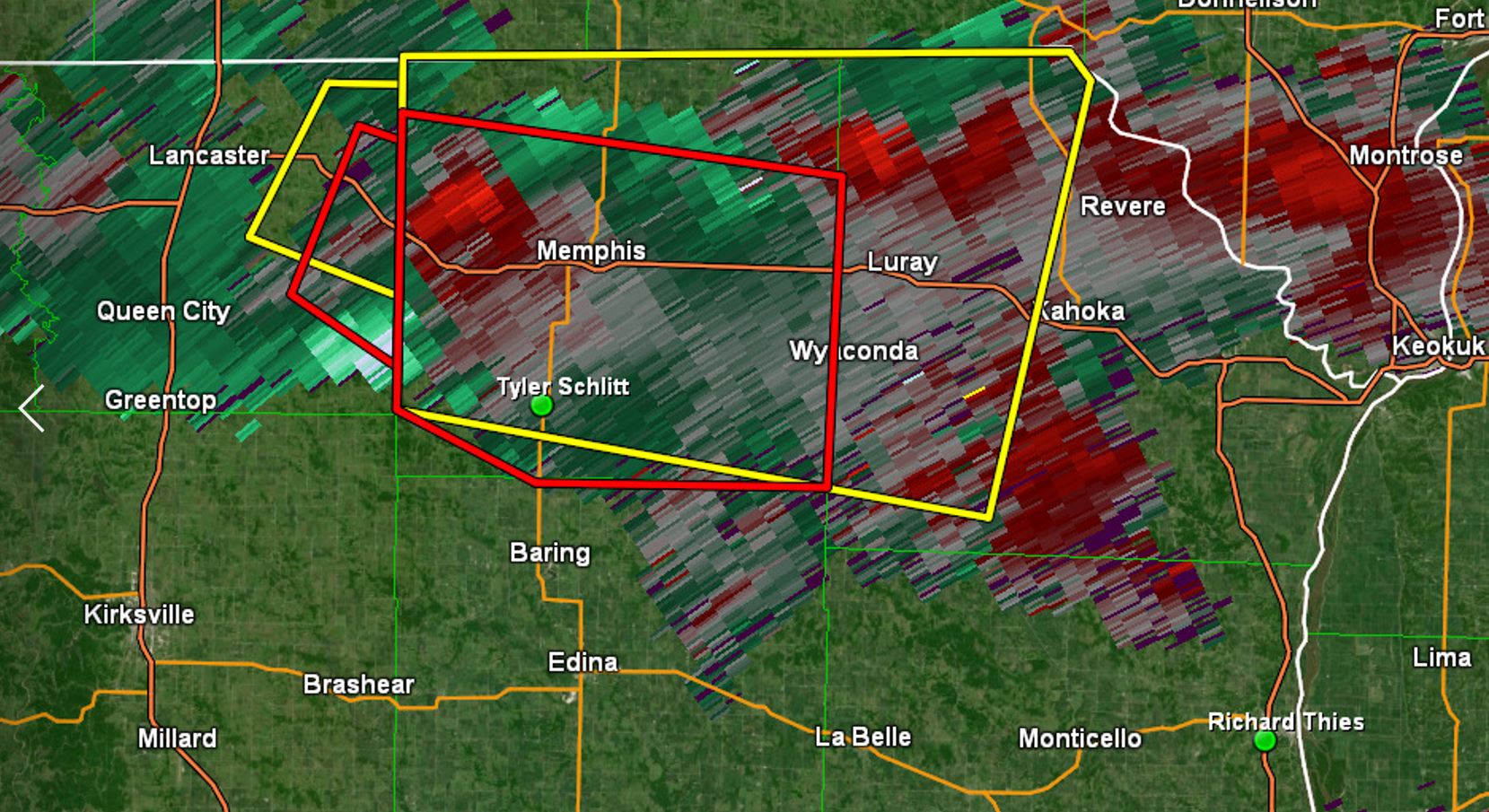
The storm continued its eastward
progression, but we were frustrated as the storm
could not get any ground level rotation
going. We moved eastward ahead of the storm
into the dusk and finally into the dark of night
as we let the storm go.
We worked our way south and east to get
back to the main highway to begin our trip
home. Reaching Highway 25 for the return
trip home, a storm further out west caught our
attention. Although it was around 60 miles
away, we were optimistic when the storm became
tornado warned with baseball hail. We
decided to hold up and monitor it as it was moving
southeast right at us.
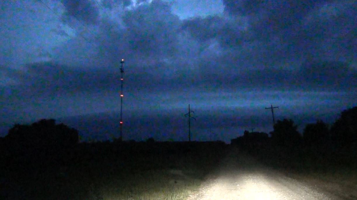
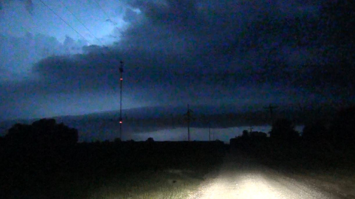
As
the storm worked its way closer, it began
losing its intensity. Lightning was
frequent though, so we could make out some of
the structure in the darkness out in front of
the approaching storm.
Eventually, the hope of the storm
producing a tornado faded and we continued
our trip home.
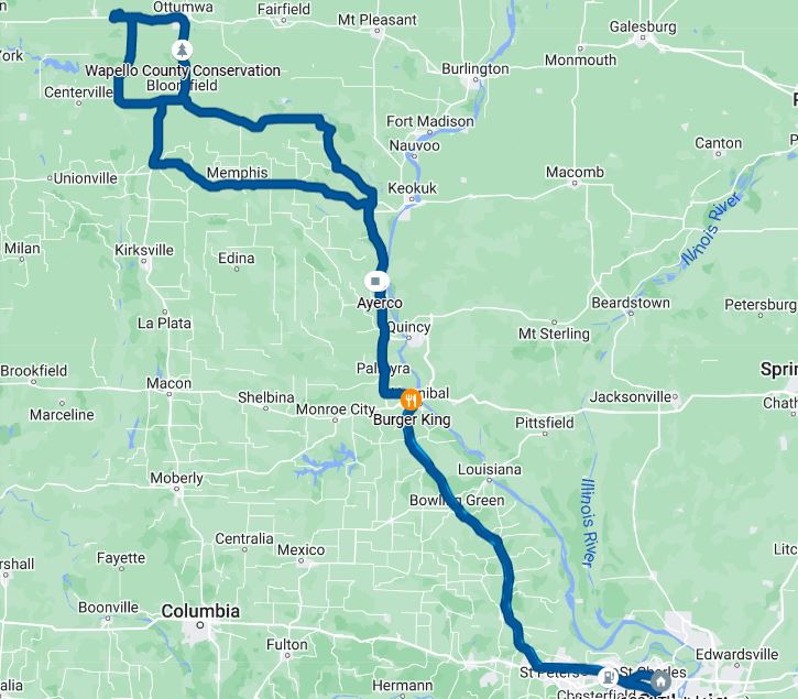
Our Trip
-- Click to Enlarge --
|
|
Full Trip
|
Detailed Area of our Chase
Route
|
14.5 Hours -
560 Miles
 September 18,
2022
September 18,
2022