 August 06, 2023
 (Click on images to enlarge them)
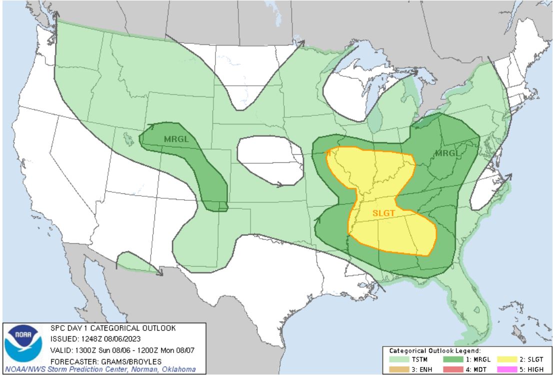
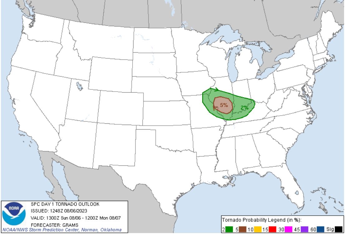
Woke to a second day of back to back storm chase days in August. My son Ryan hustled back from his vacation to be a part of this second day of potential tornadic storms. Storms were forecast to erupt very near the house with a 5% tornado risk.
 |
 |
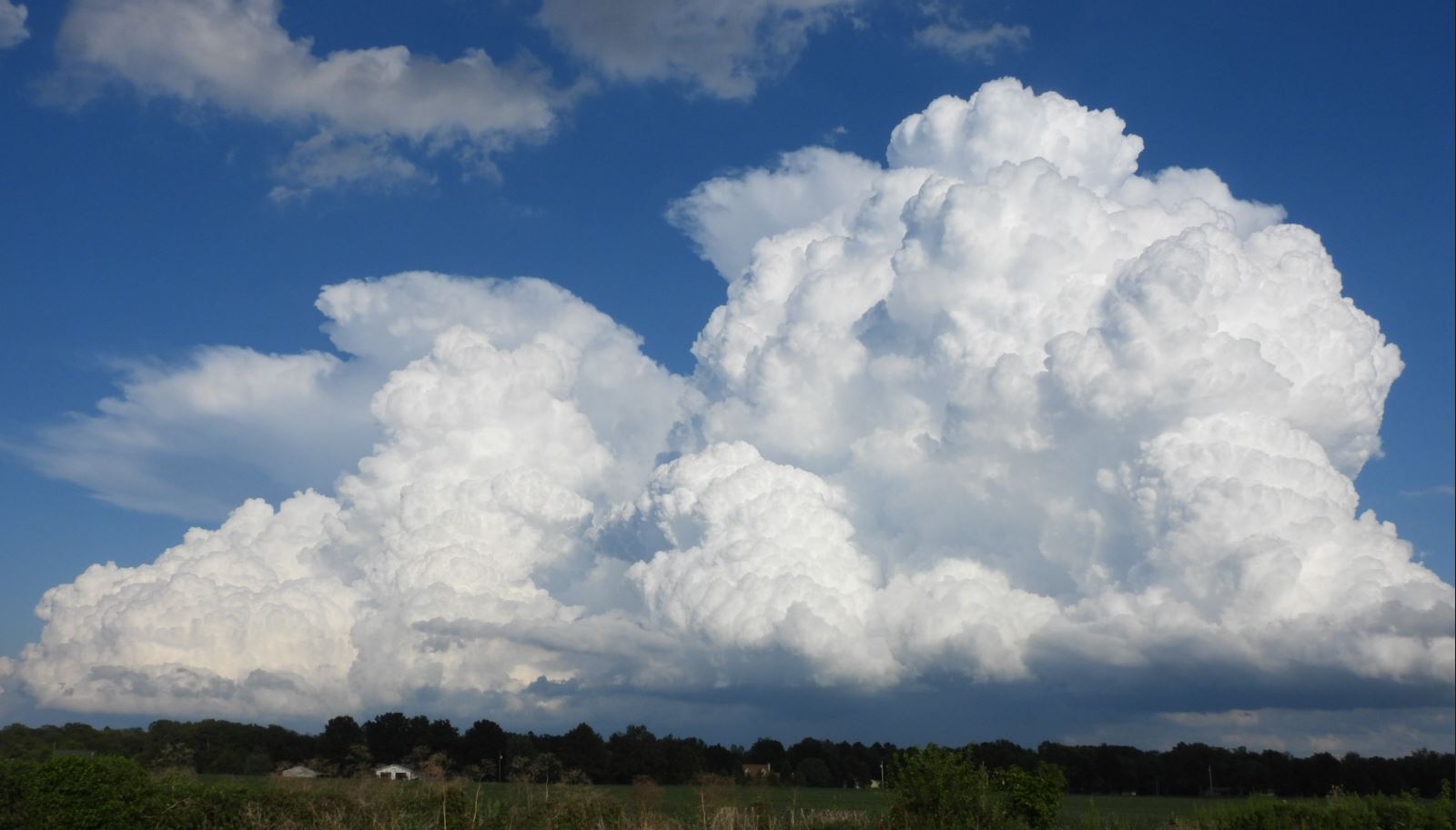
We headed out in the late afternoon and chose to set up on the Illinois side of the Mississippi River. We watched the beginning of some convection form overhead and move east of us. None of these cells seemed to grow very quickly, but we noticed some cells further to our north were growing much more quickly.
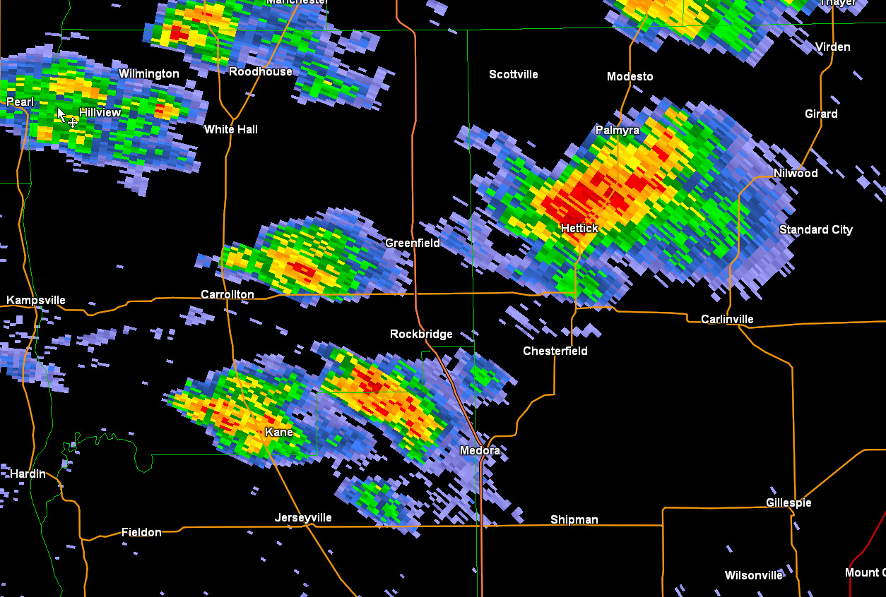
We began edging our way northward up I-55 with our eye on that growing storm coming out of Carlinville, Illinois to our northwest and had another fast growing storm just to our east as we passed Mount Olive, Illinois.
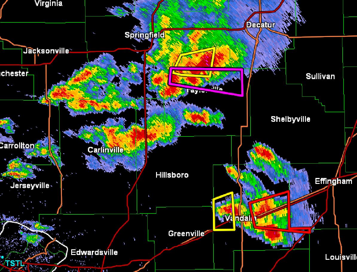
Picking the correct storm was made more complicated as better parameters continued to be down by St. Louis, but the more aggressive storm development continued to be to the northward near Springfield, Illinois. So, which one should we chose?
To complicate things even more, the storms up by Springfield became tornado warned on the warm front. The choice we made was to target the fast growing storm to our northwest. We figured our position put us too far south of the tornadic cell near Springfield to reach it in time.
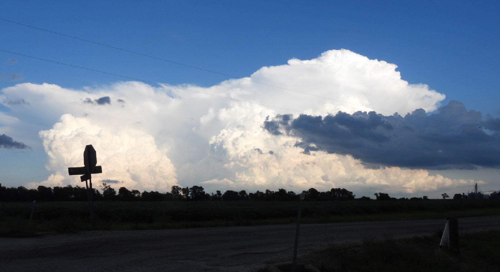
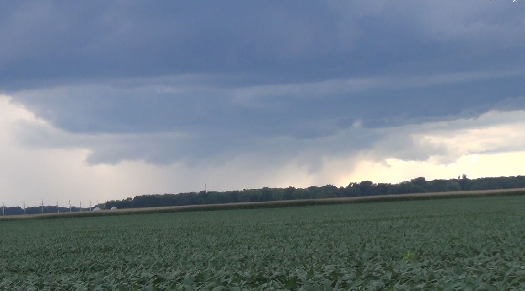
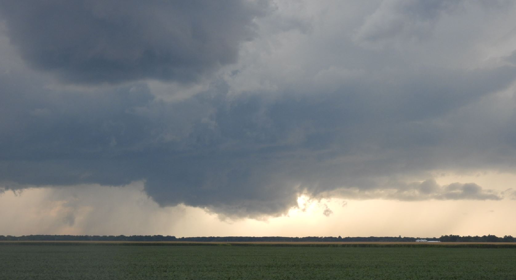
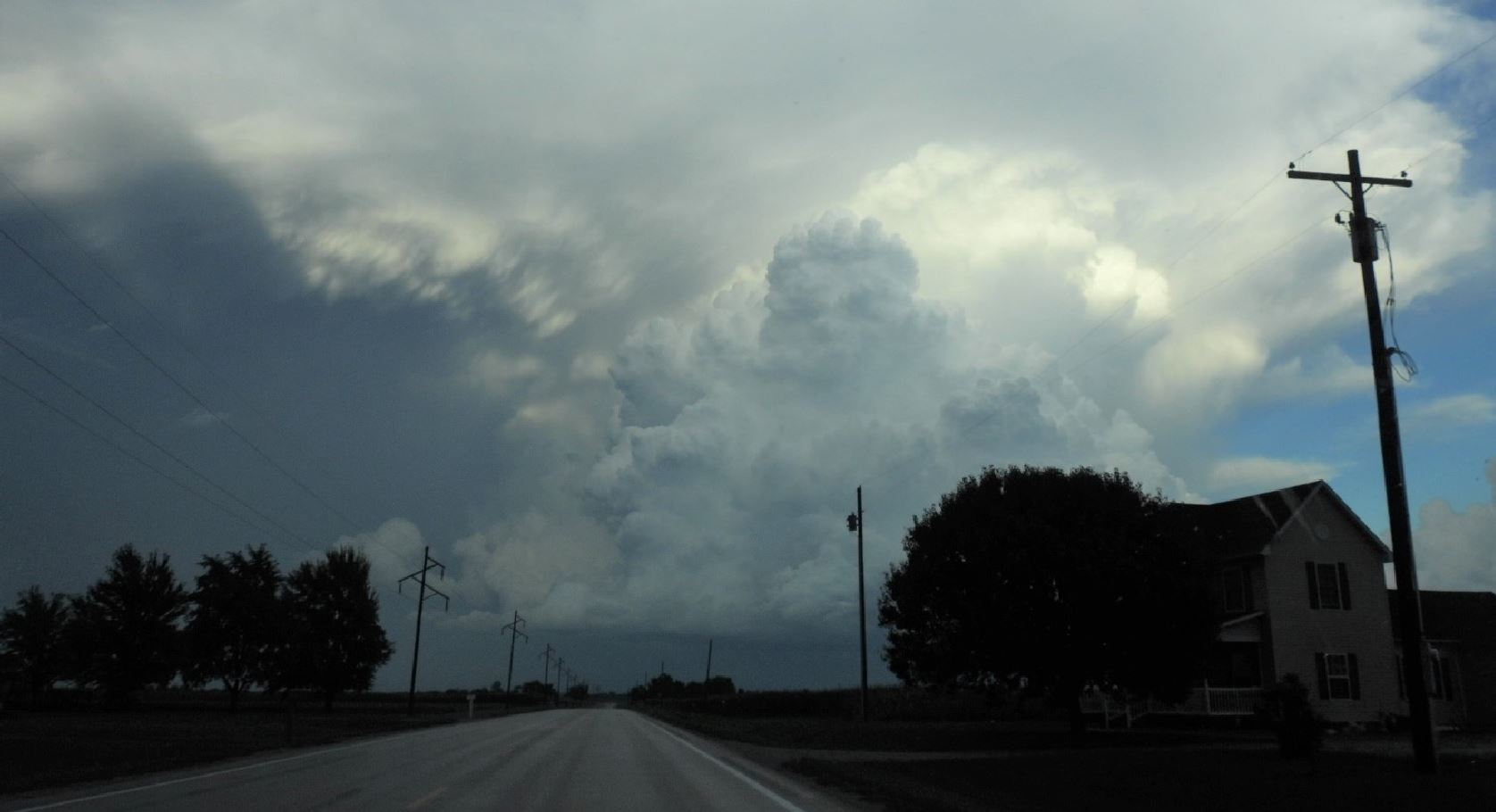
We moved toward our storm and exited at Highway 108, the Carlinville exit. We found an open view and watched the storm move toward us. The storm took on many different looks as it moved toward up. It showed a few signs of potentially spinning up and putting down a tornado, but just couldn't wrap up.
As the storm caught up to us, we moved east with it as we worked around the Lake Lou Yaegar. We kept the rotating part of the storm in our sight, but the further east we moved, the weaker the rotation became.
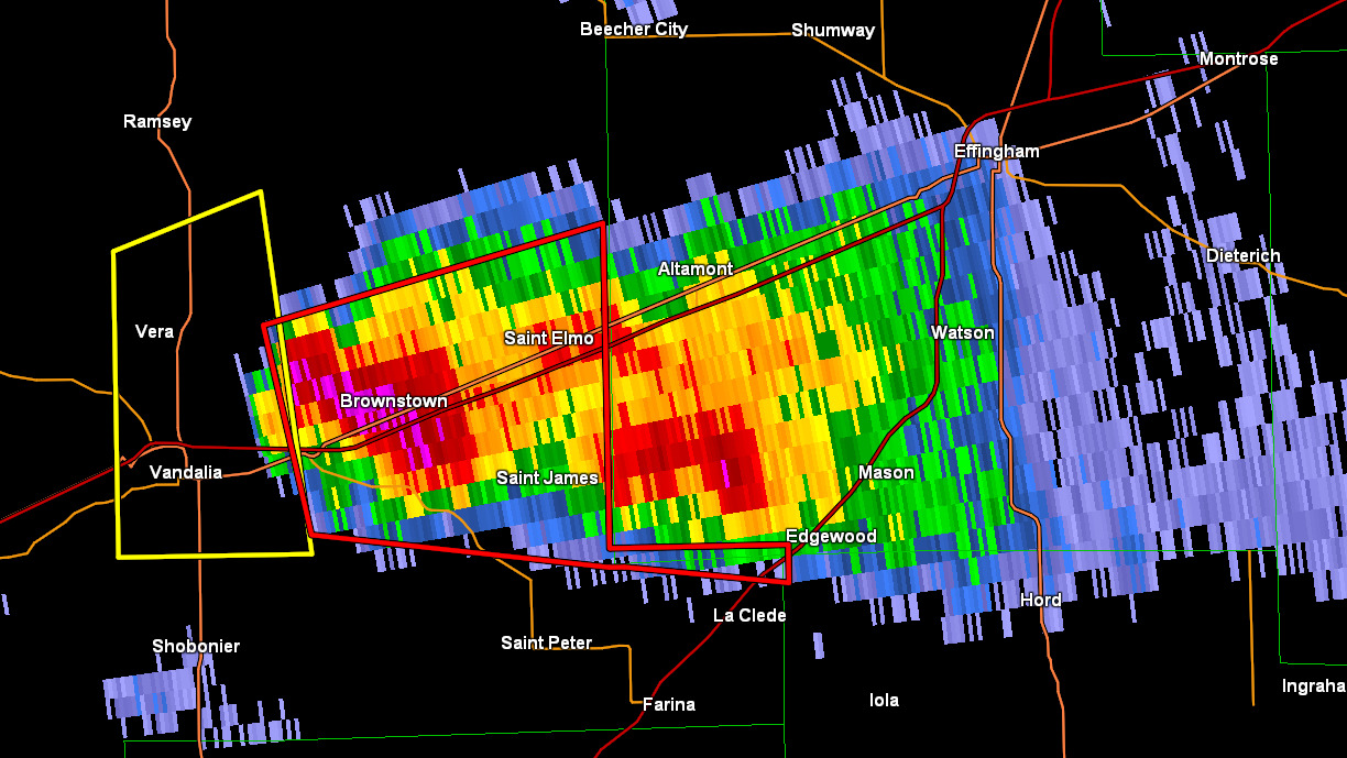
We decided the next best thing to do was catch up with the storm in front of us that we originally let go earlier as we moved north on I-55. Ironically, as we now moved east toward the storm, it became tornado warned.
We made an effort to catch the storm, but as we approached the storm, road options were less than adequate to work our way south, then east around to the rotating part of the storm. In addition, nightfall was soon approaching.


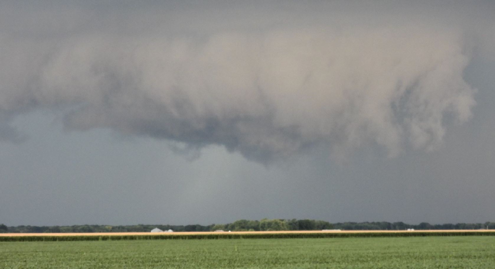

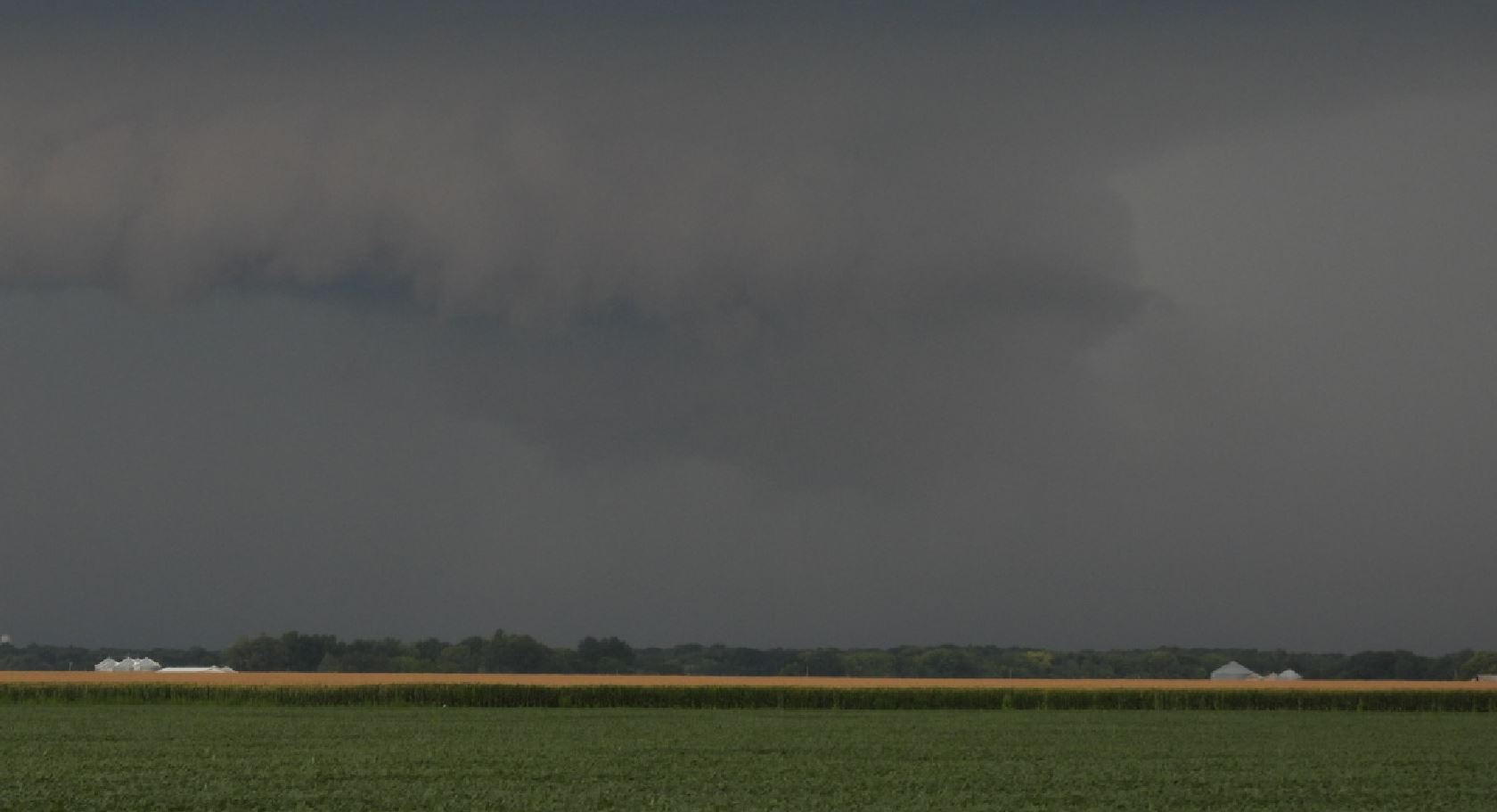
As we were about to give up, a new circulation to our north caught our attention. We took this as our last opportunity before darkness set in. The storm rolled toward us with a nice shelf cloud.
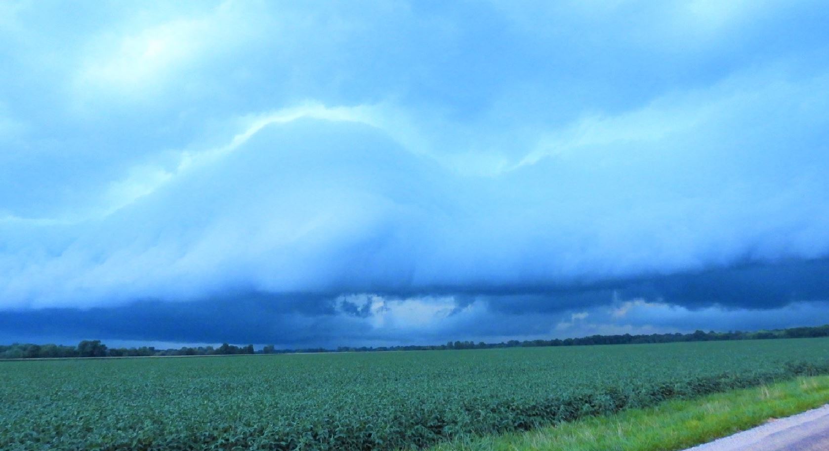
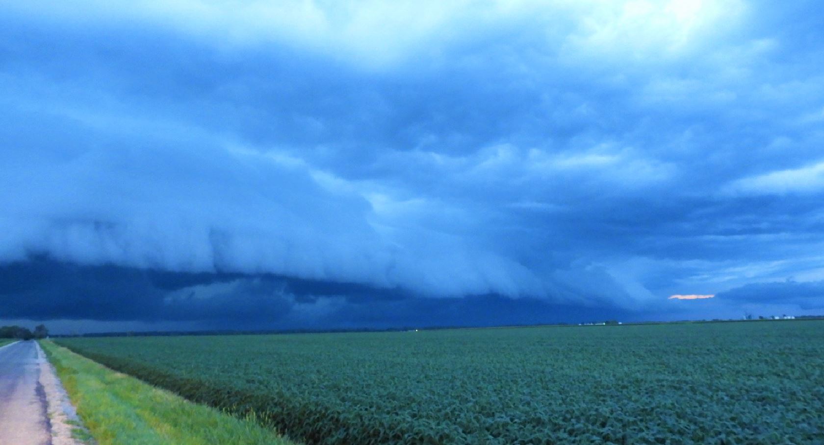
We soon discovered that any circulation was buried in rain. Darkness put an end to our storm chase. As the storm's heavy rain plowed through us on the way home, we were bombarded with .5" hail as the finale.
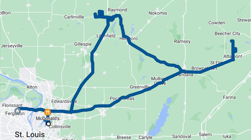 |
6 Hours - 255 Miles