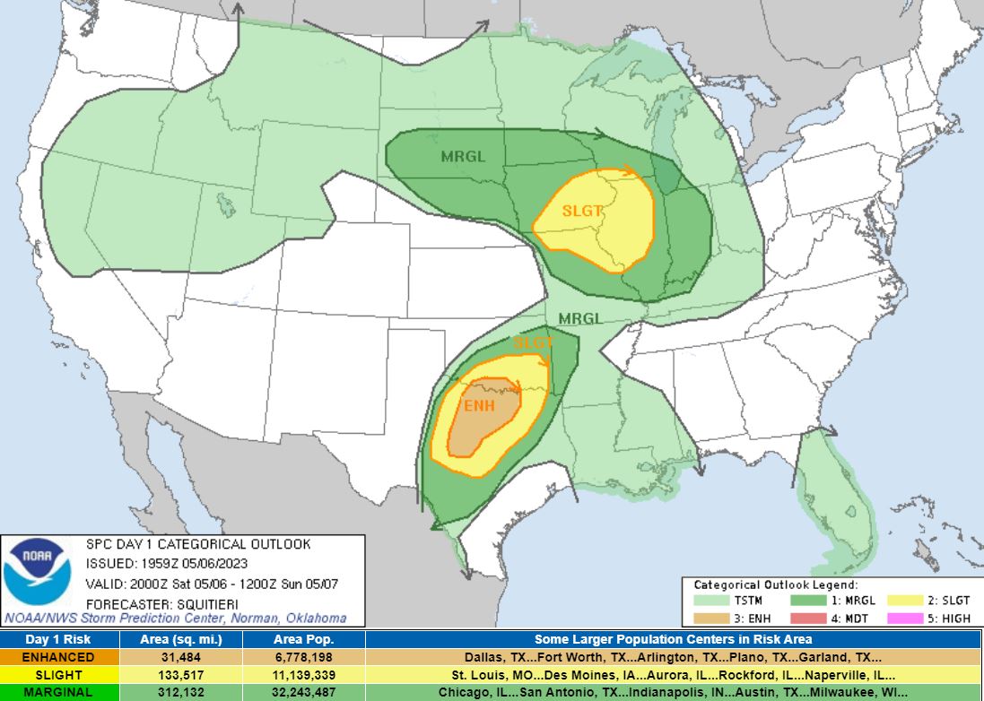
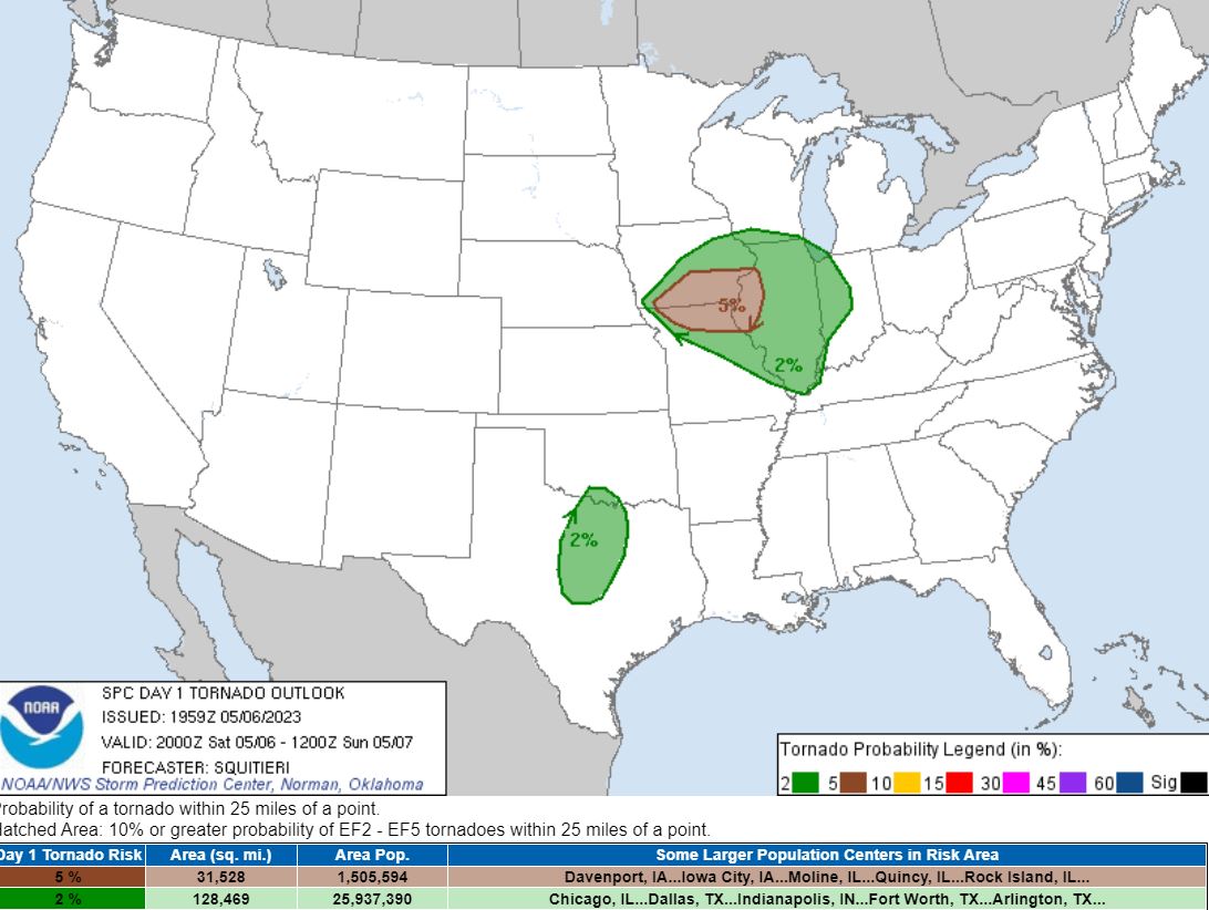
The prospects of tornadic supercells
was enough to pull my son Ryan and I out to
Northwestern Missouri for the day. The Storm
Prediction Center placed a Slight Risk for our area
with a 5% Tornado Risk.
|
|
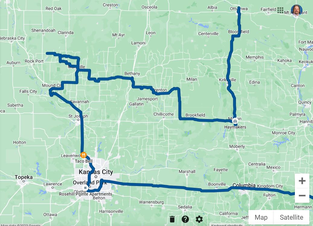
We left early in the morning and
stopped off in Lenexa, Kansas to pick up our chase
partner Brian Stertz. Storms were not forecast
to initiate until the early evening, so we made a stop
in the afternoon in Squaw Creek National Wildlife
Refuge (Loess Bluffs) for some wildlife
photography.
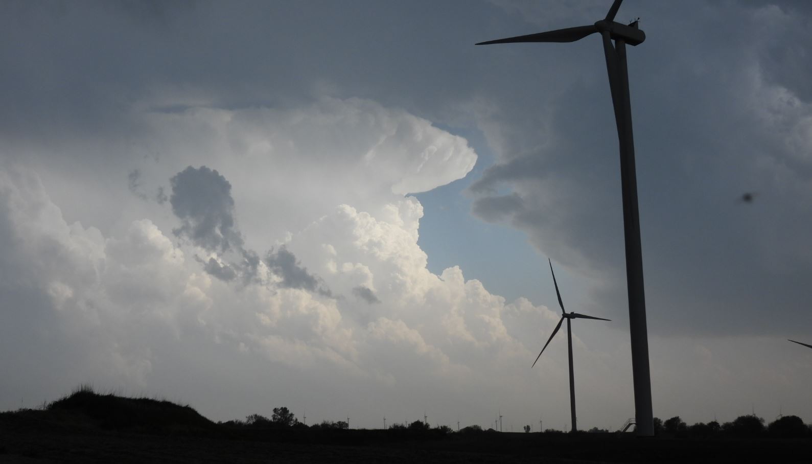
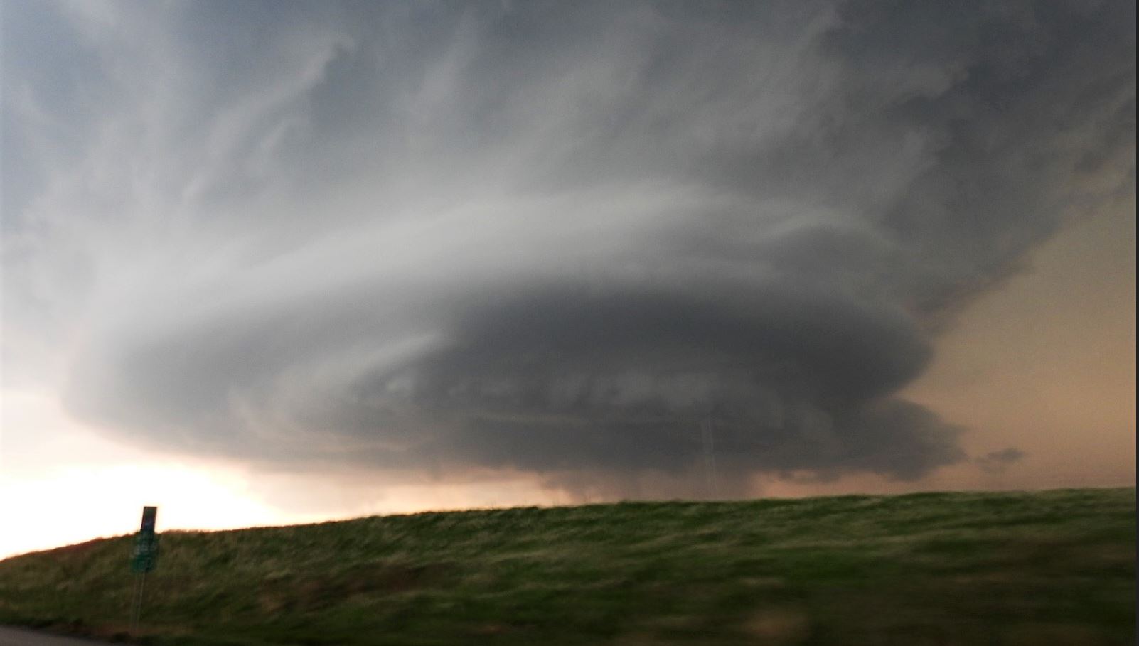
By
late afternoon, we moved into position to the target
city of Maryville, Missouri. As
storms began to erupt, we moved toward a developing
cell northwest of Maryville. The storm went up
near Westboro, Missouri and became severe warned.
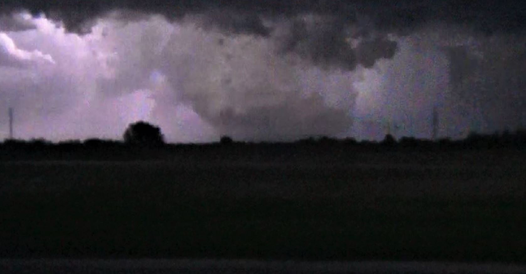
As
the storm approached, it weakened. We made the
decision to work back toward Maryville again and we
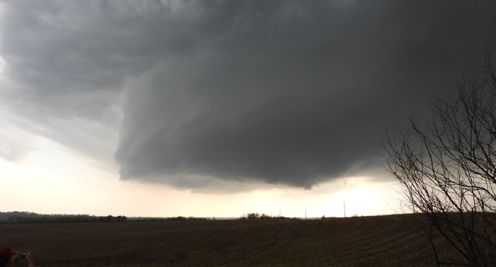
latched onto the developing cell to the south near
Stanberry, Missouri. We got out in front of the
east moving cell as it became Tornado warned. A
rotating wall cloud came into view.
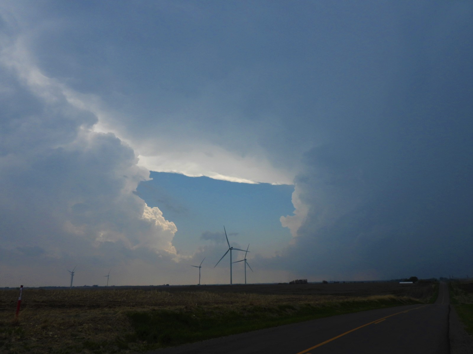
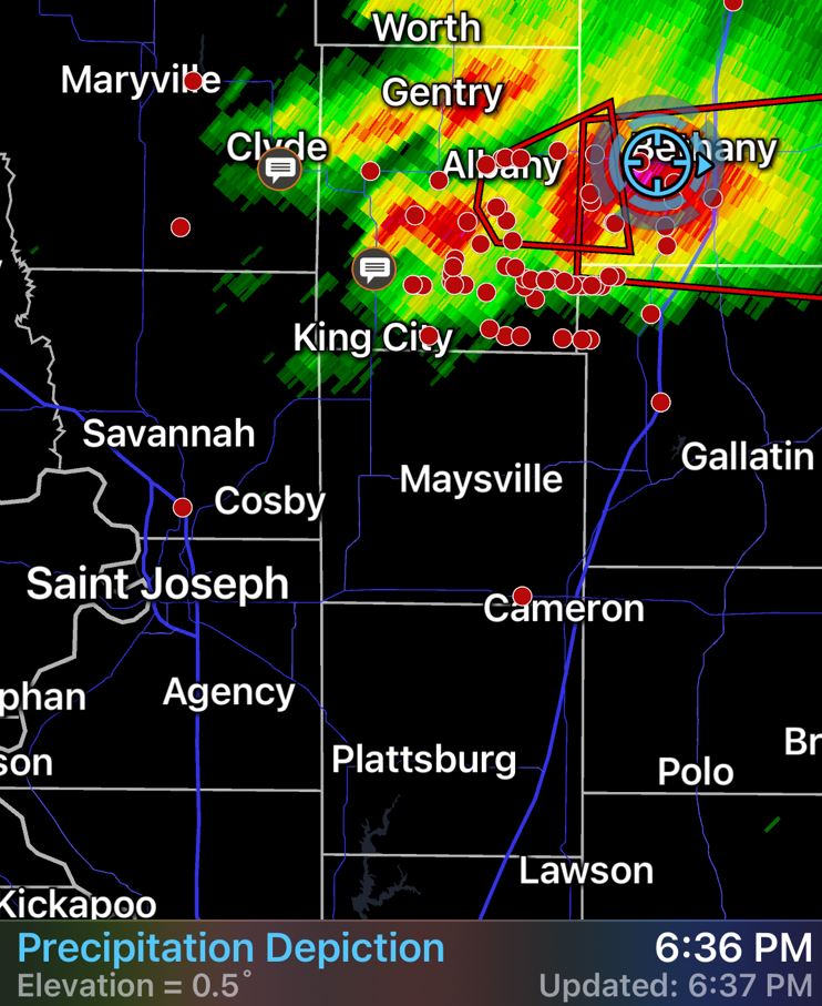
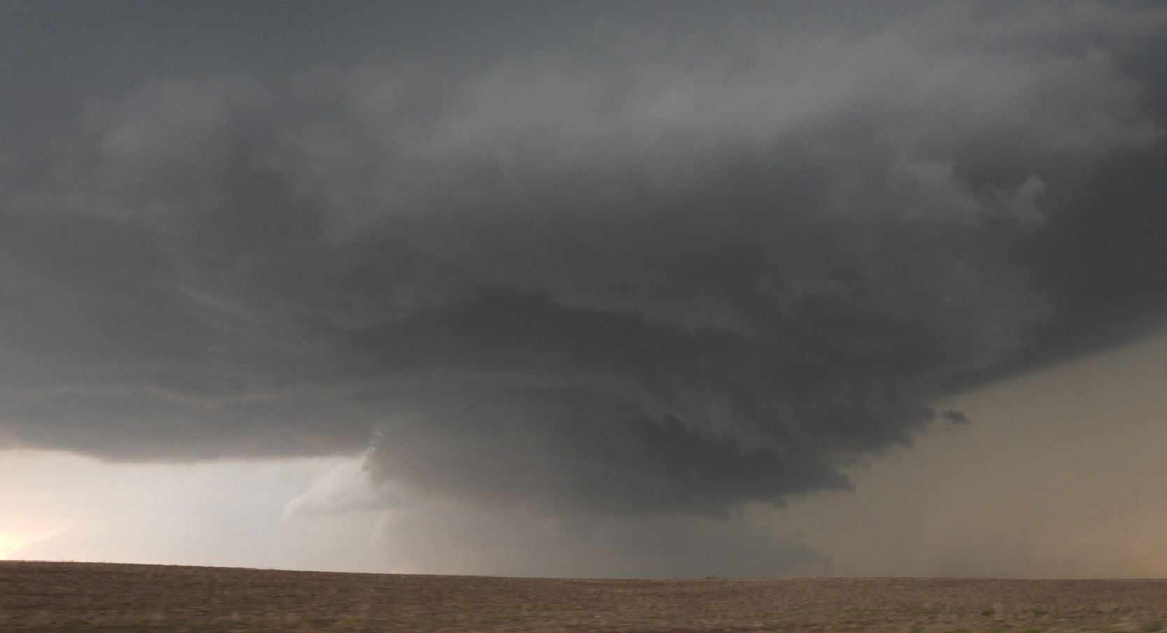
We
continued to zigzag through the roads going east and
south through the cities of Bethany and Trenton.
the storm
continued to show a rotating wall cloud, but still
without attempt at a tornado.
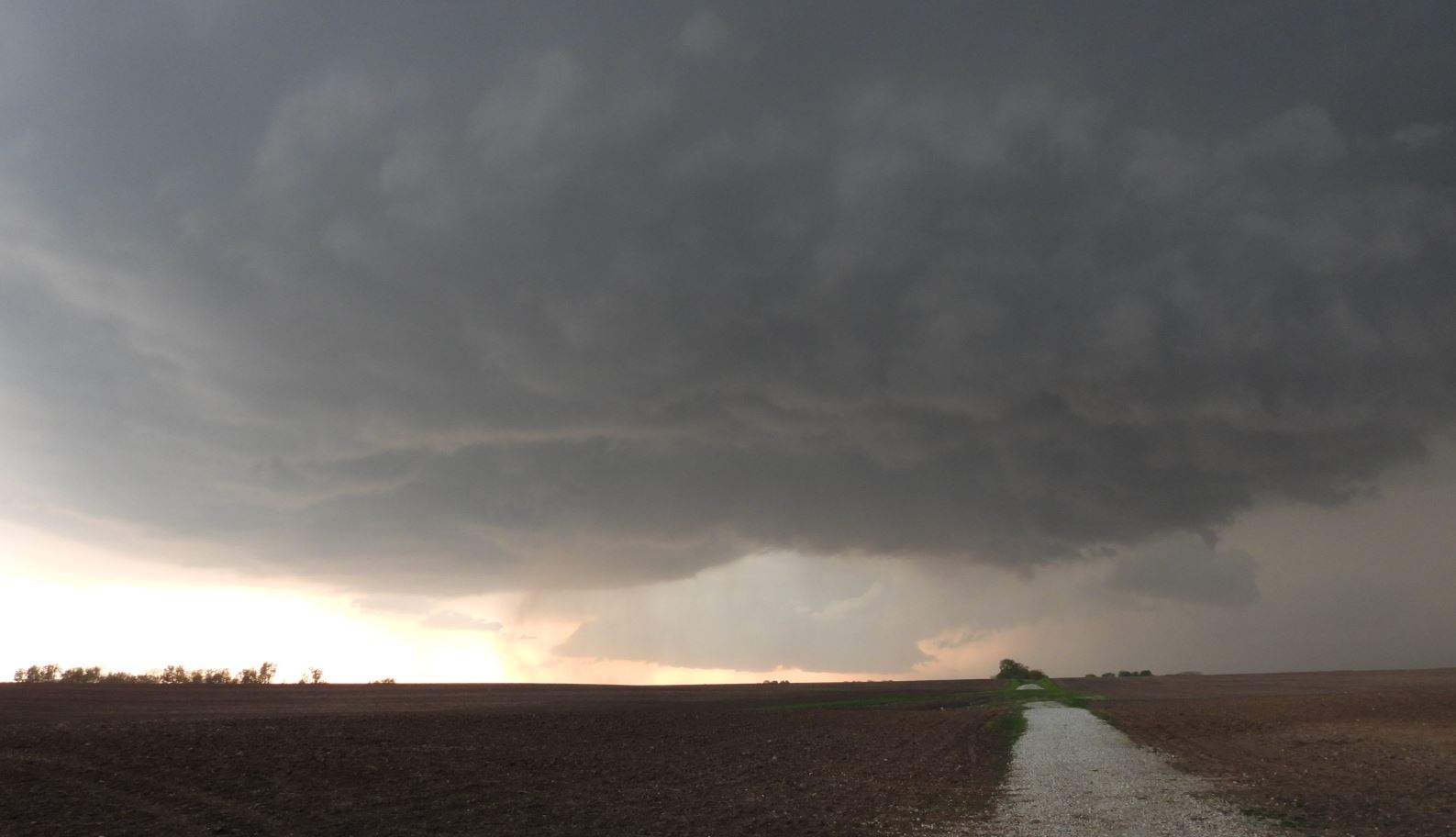
The most interesting part of the
day came as continued moving ahead of the storm
and came to a long bridge under repair with only
one lane open. This meant there was stop
light at each end with the lights set at
probably 10 minutes to cycle the cars going
through this long span in one direction.
We hit the red light with the hail core right on
our tail. A close call on being bombarded
before the light turned green. Shortly
after, we began hearing of a reported
Tornado on the ground near Trenton, but as
we looked, we had no view as it was hidden
in the rain and haze. We
continued east through Galt and when we reached
Humphreys, Missouri, we took Highway 139 south.
As we continued south, a storm on the flanking line of
the storm we were following took over as the main
show, so our focus now turned to positioning for this
storm.
As
if the storm wasn't giving us enough excitement, a bit
further down Highway 139, a deer darts out in front of
our car which was moving at 55mph. A slight turn
of the wheel avoided a direct hit and gave us a side
swipe of the deer. Unfortunately, it was not a
happy ending for the deer. Only minor damage to
the car. No time to stop as we were right in
front of the approaching storm.
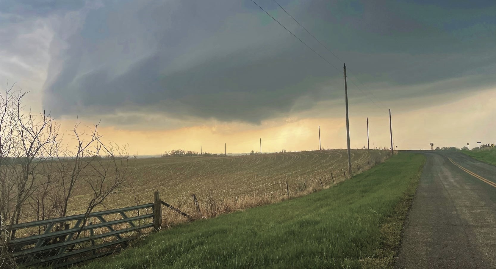
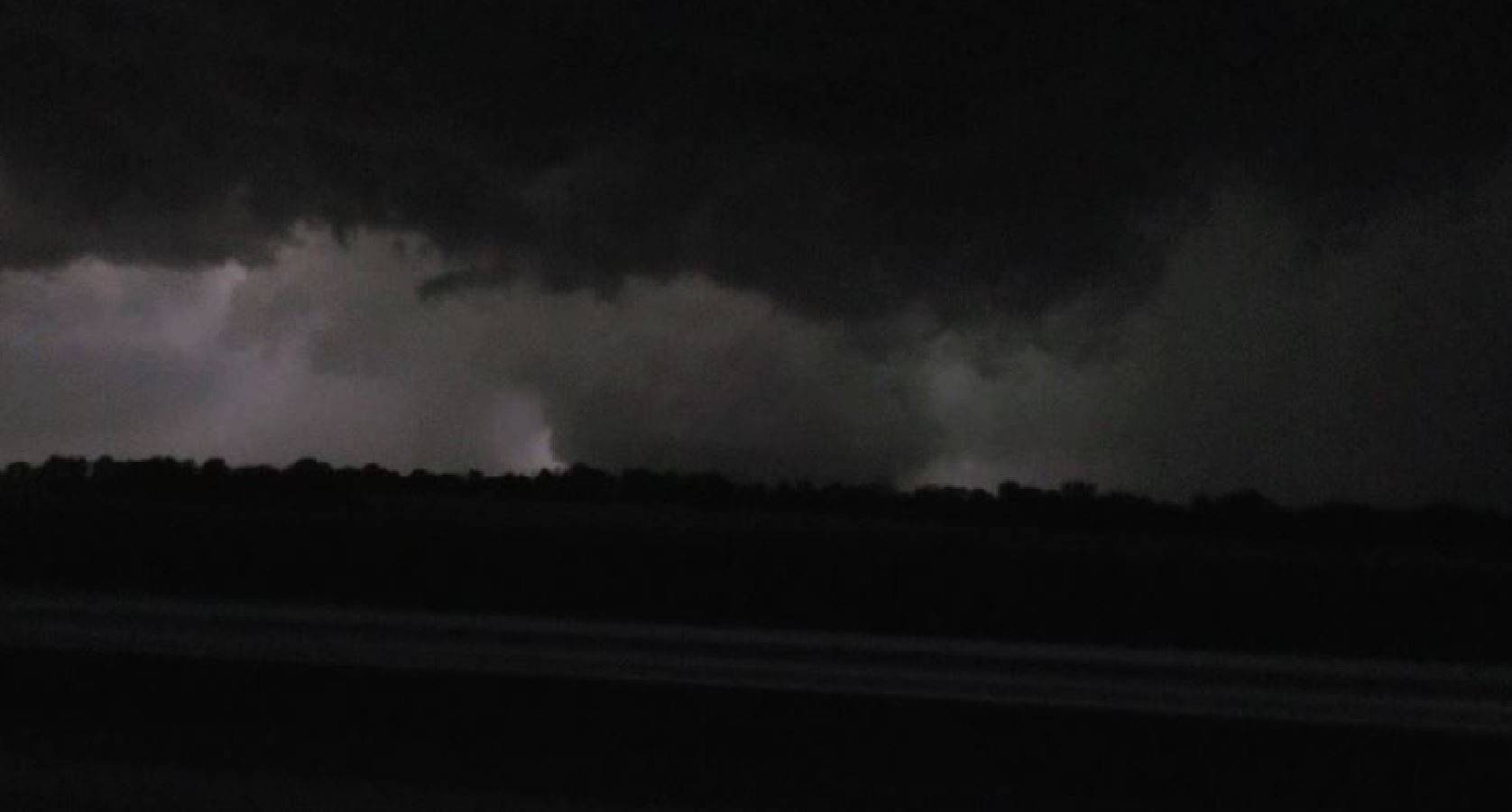
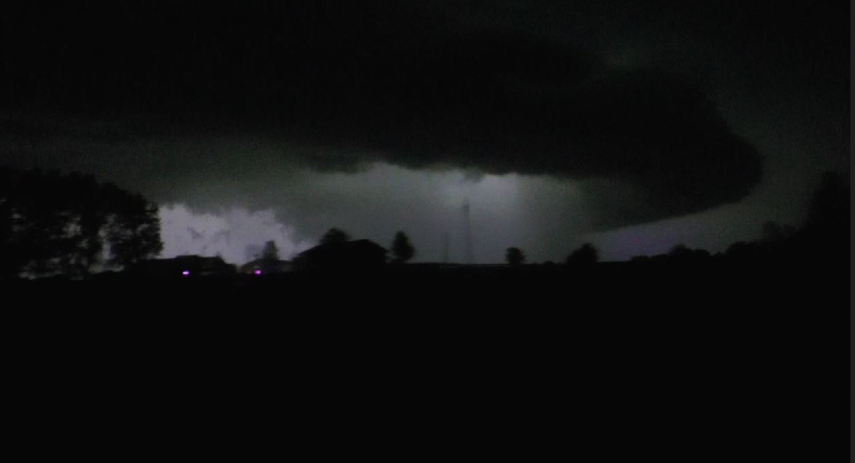
We reached Highway 36 and now had the storm just to
our north. Daylight had now faded and seeing the
storm features was only with the frequent lightning
flashes. We now began hearing of a Tornado on
the ground. We had a view of the huge, ground
hugging wall cloud. We originally thought we
were looking at a huge Tornado by its look.
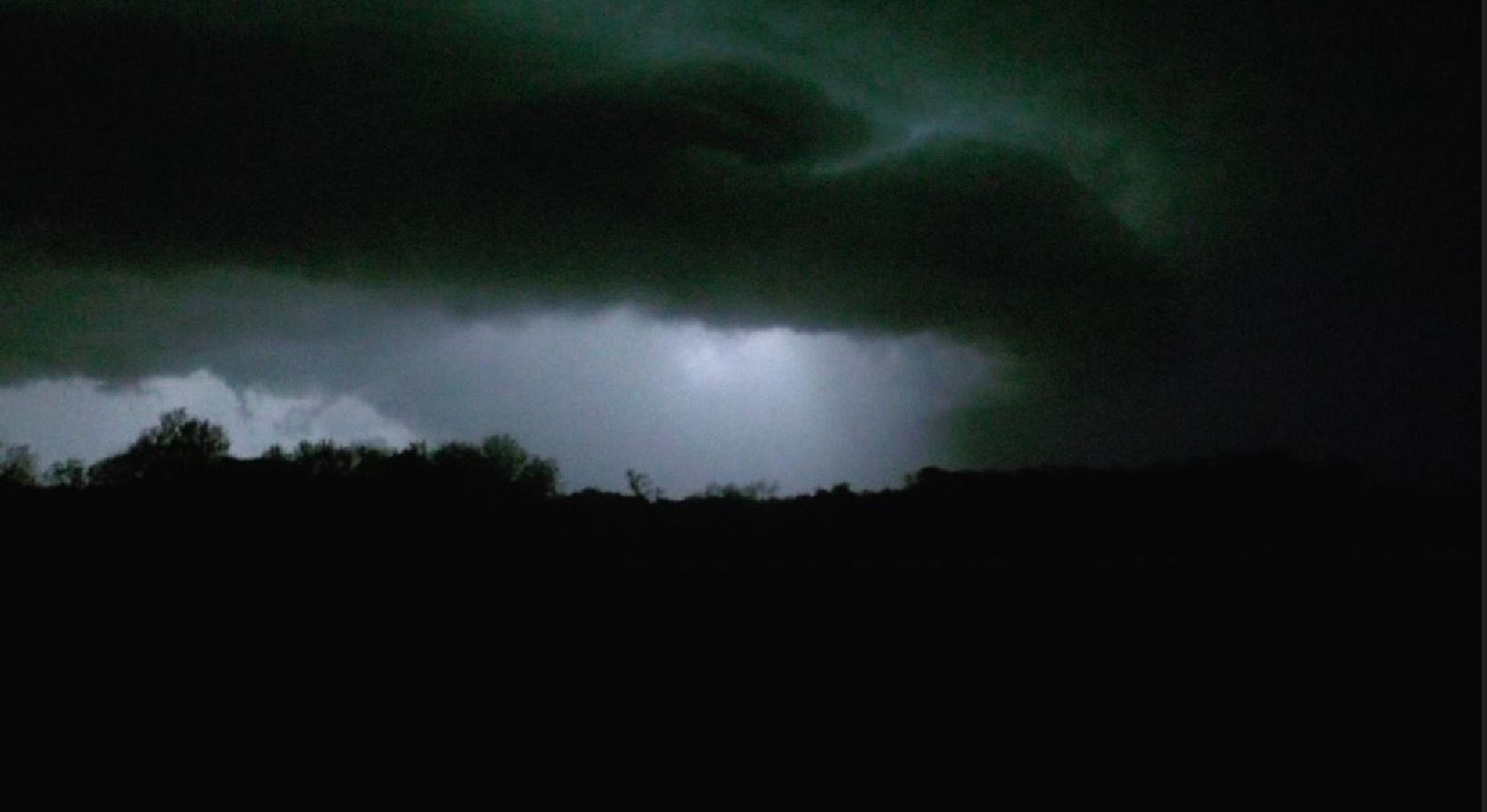
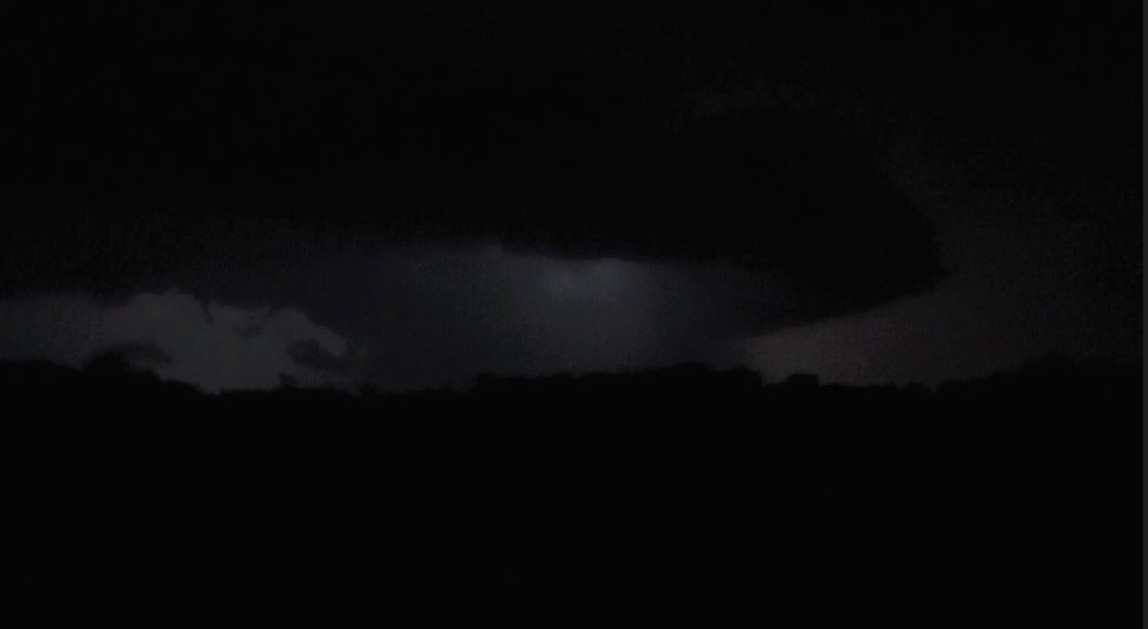
We
continued to travel east along side the wall
cloud. Getting a clear view of ground level
never happened, so we were never able to confirm the
Tornado. Lightning continuously lit the storm,
so we constantly had a view of the storm coming at us.
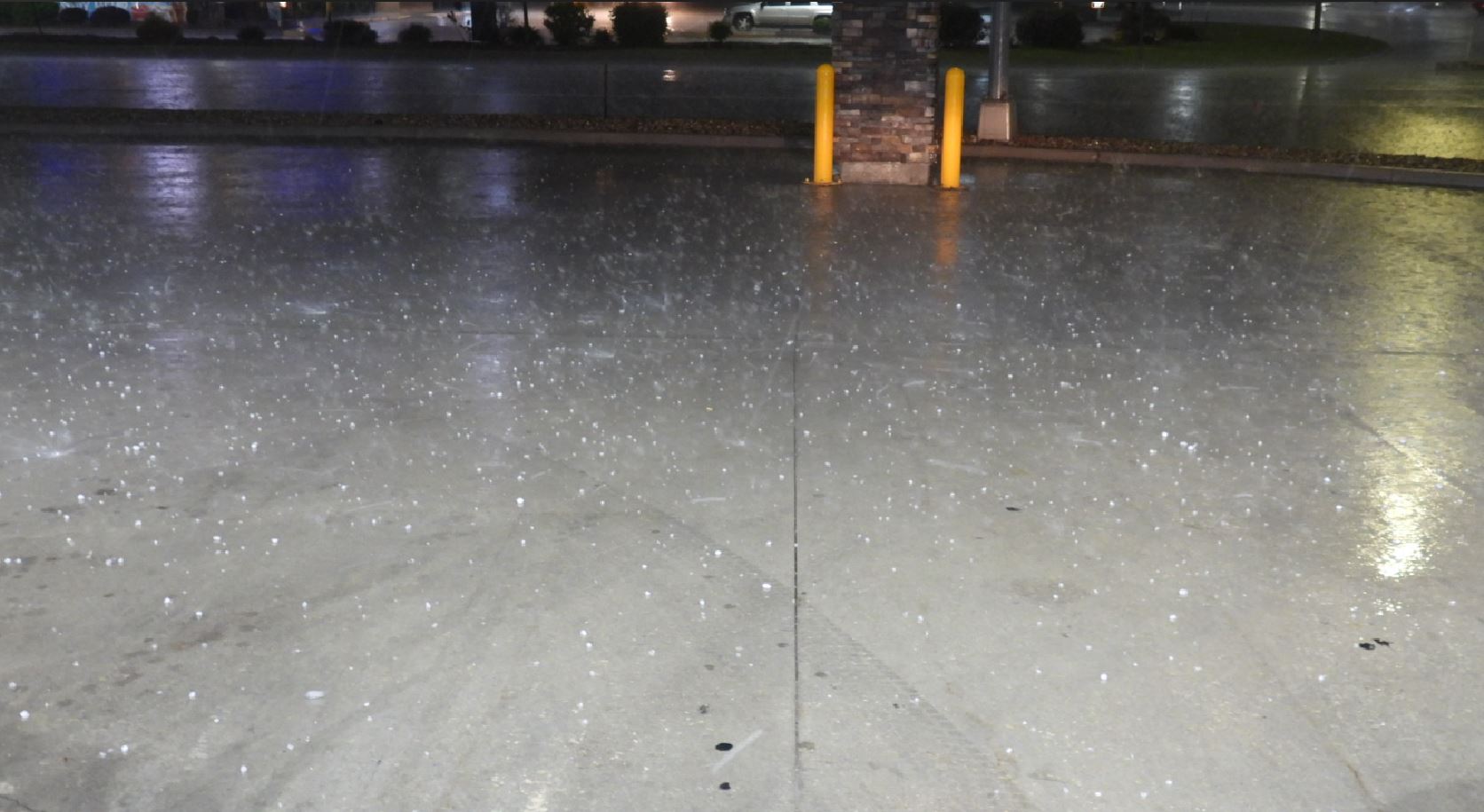
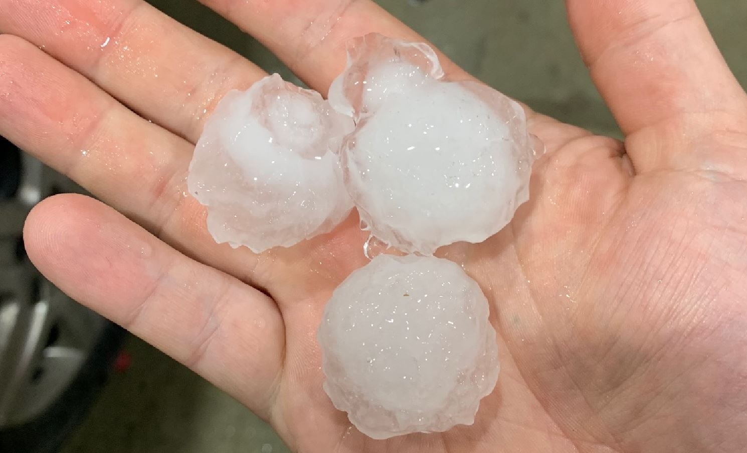
As
the Tornado threat diminished, we held up in Macon,
Missouri to let the approaching storm catch us and
positioned ourselves directly in line with the Hail
core. We grabbed a spot under a gas station
canopy and watched the hail.
 May 06, 2023
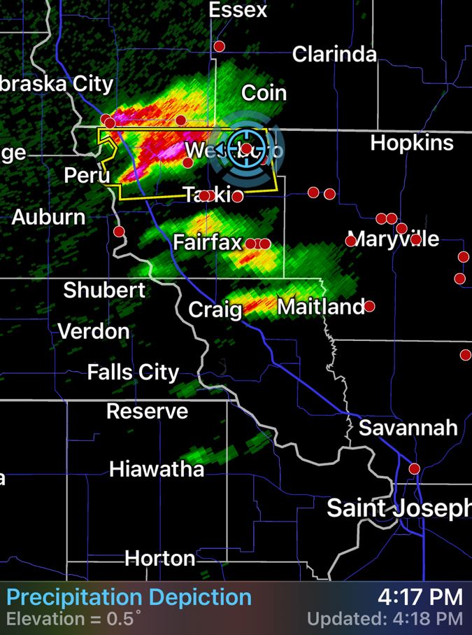

