We
left mid-morning and worked our way toward our
target of Ottumwa, Iowa. As we moved toward
our target, a line of storms was already apparent
out to the west of us.
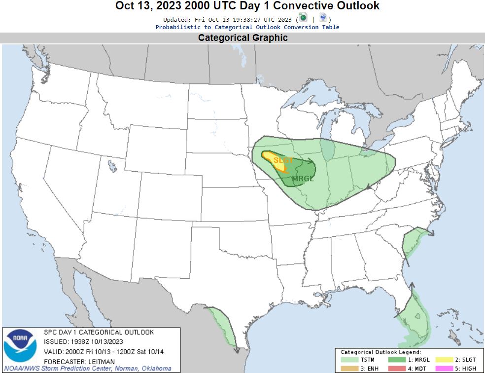
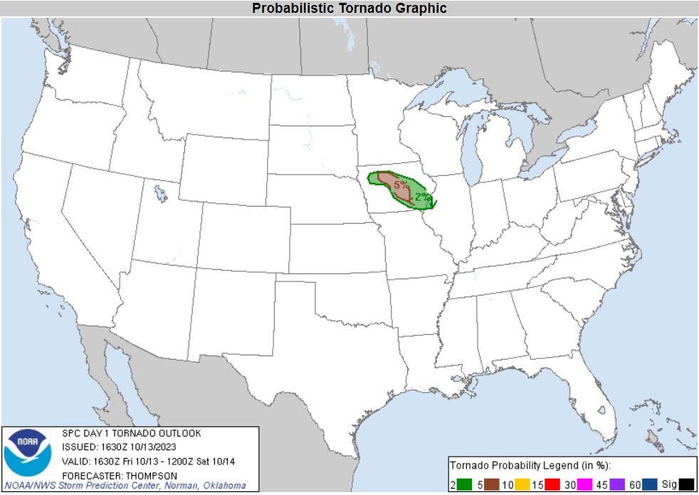
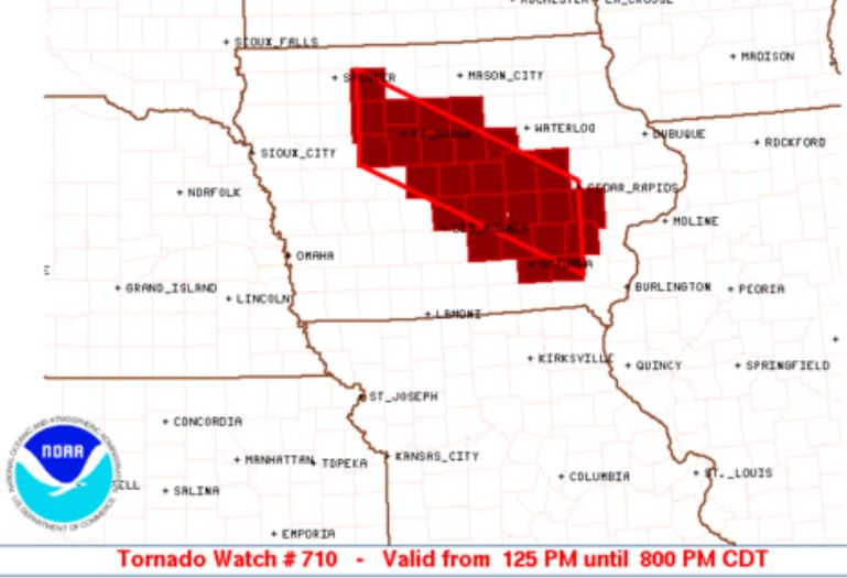
A
Tornado Watch was issued for Central into Southeast
Iowa. Certainly a good sign.
As we neared our
original target of Ottumwa, we adjusted our plan to
move further to the northwest of our original target
where better parameters seemed to be in place.
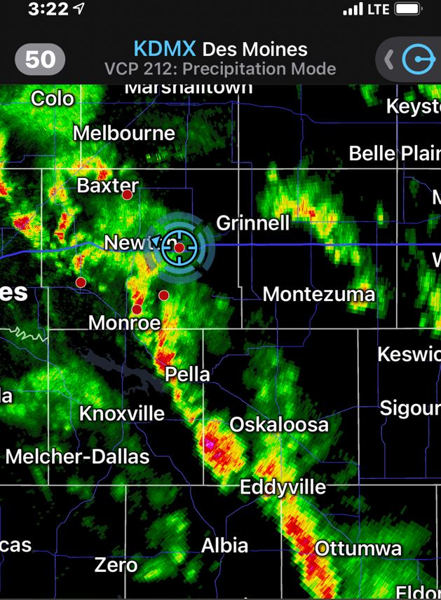
Our new target was Pella, Iowa. At that
location, we had the best growing storm embedded
within the line moving north with more working their
way northward to its south. As the line of
storms continued to move, the line seemed to break
up giving more of a supercell look to some of the
storms giving some hope for enhanced tornado
potential. We adjusted our location again a
little further north to Newton, Iowa to catch our
first storm. About this time, a storm further
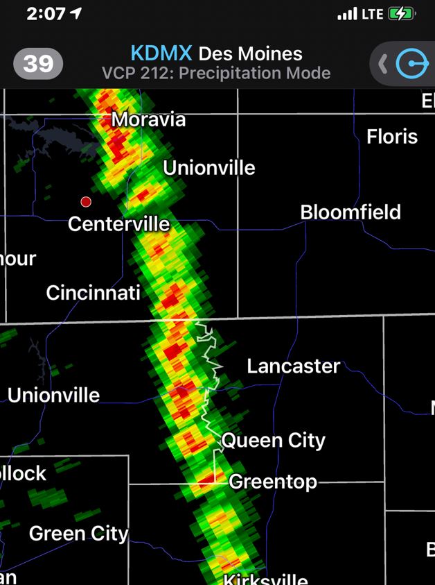
northwest of us was issued a Tornado Warning.
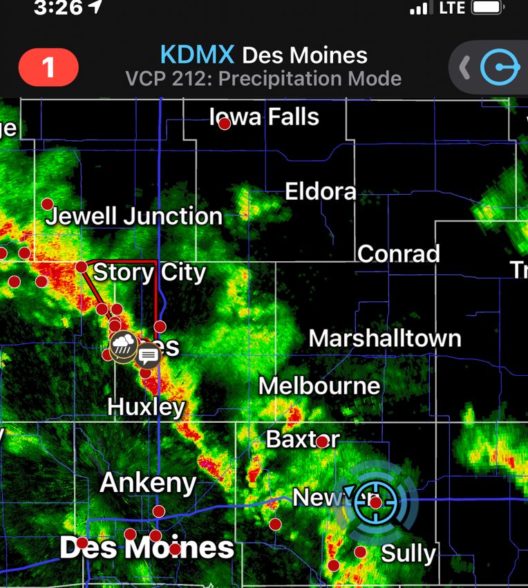
The
warned storm quickly lost all rotation
characteristics within a couple scans, so we made no
alterations to our plan. Another Tornado
warning followed in the same area with the same
results.
We watched multiple cells continue to come at us
from the south and slip by us. We moved
eastward to stay ahead of that eastward moving line
as each cell in the line moved northward by us.
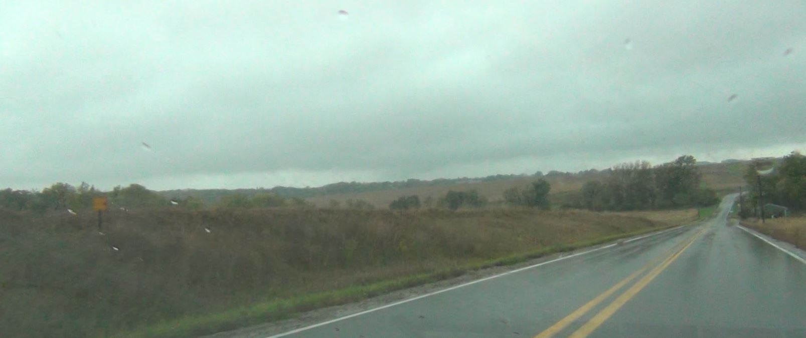
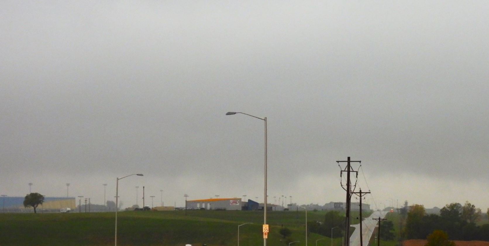
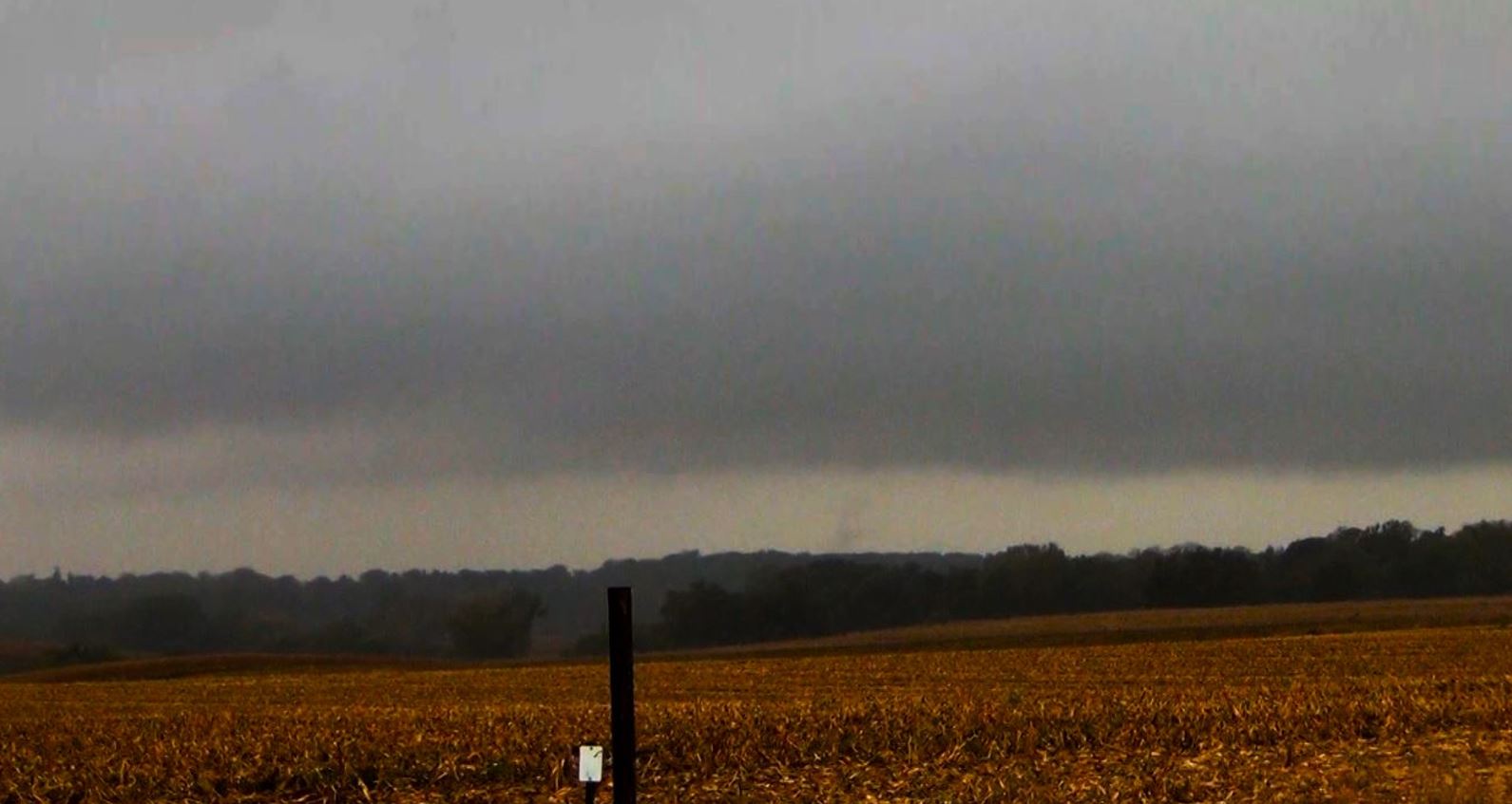
Many times we
were doing double takes as the low hanging clouds
appeared to be rotating in some of the passing
cells. Cloud levels were extremely low with
lots of visuals leaving us wondering, were those
lowerings really rotating or were our eyes just
deceiving us with blowing rain curtains or scud?
It
became obvious as the afternoon turned to evening
that the tornado threat had diminished and we
began our trek home. The route home gave us
more time around and in the storms until we
finally broke free of the rain as we moved south
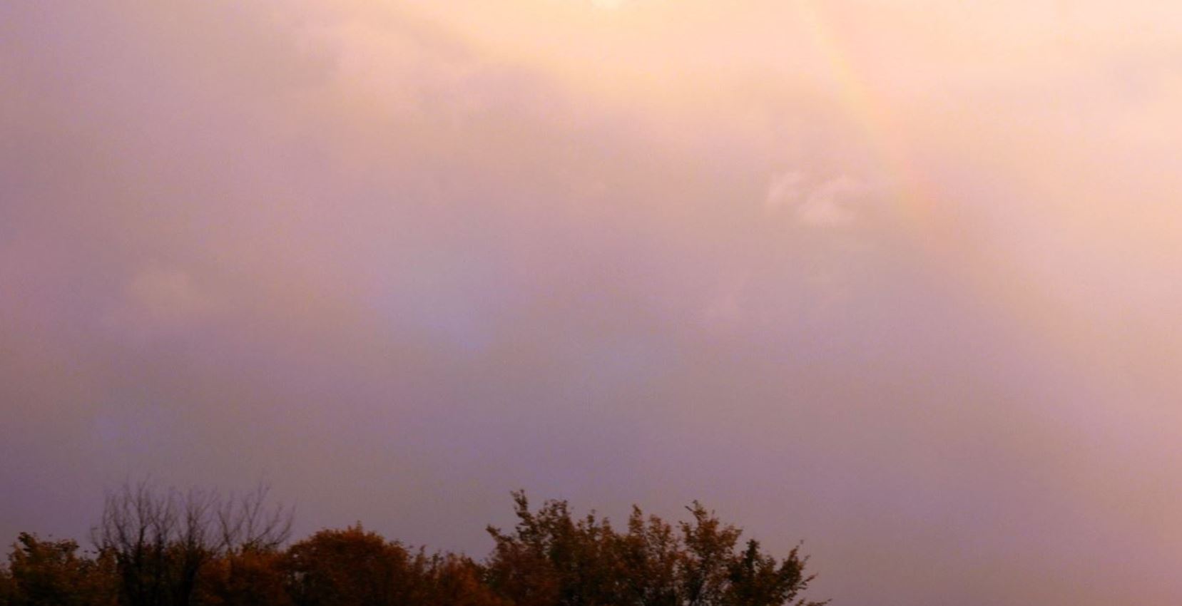
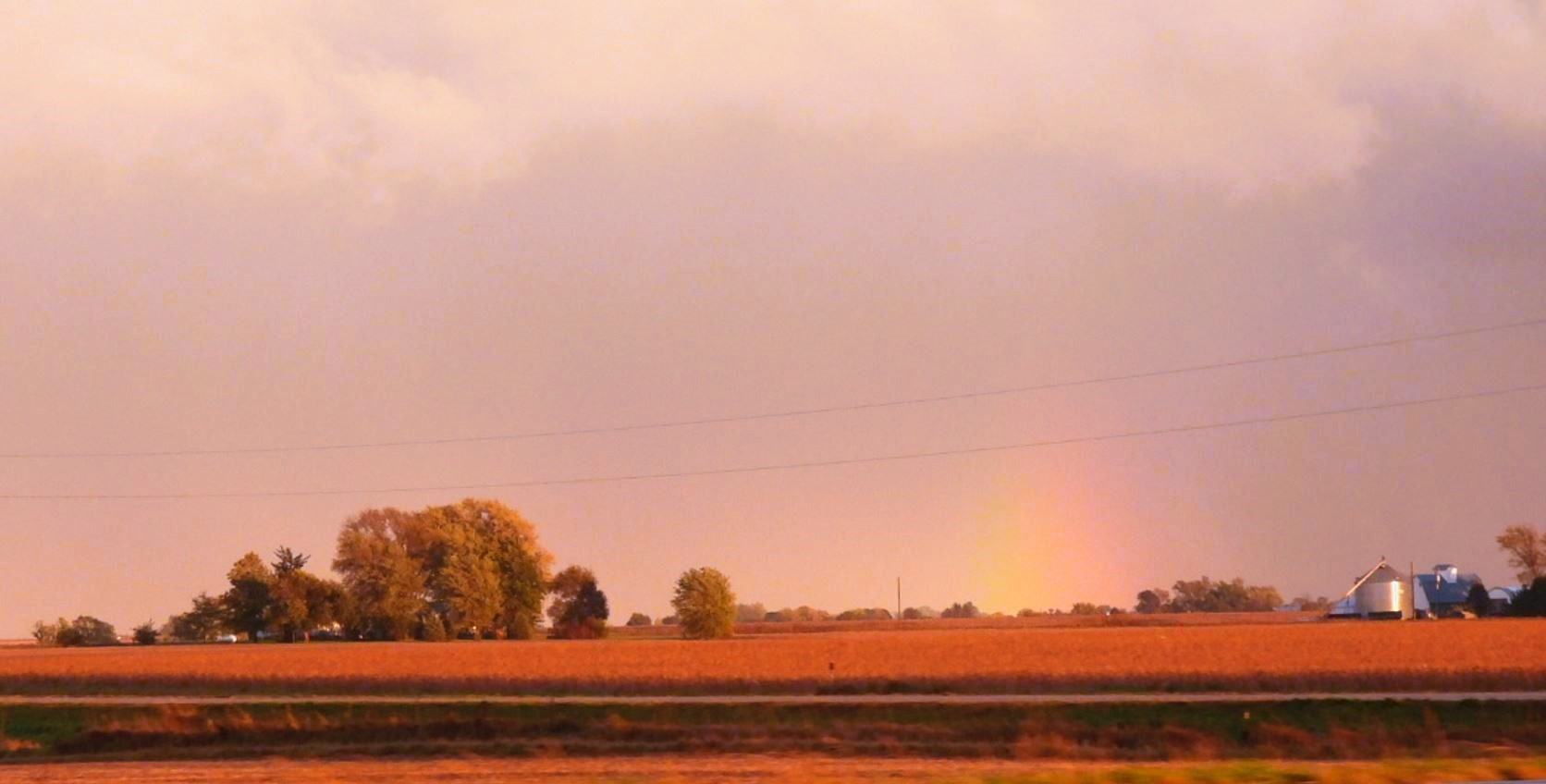
back into Missouri. The sun came out and we
were hoping for a bright rainbow on the back side
of the line, but all we could get was a couple
hard to see, less than spectacular attempts at a
rainbow.
It was a very
tough chase with very little to show for it.
We observed no hail, no high wind, only a couple
lightning flashes, and no tornado. What we did
see was plenty of rain.
 October
13, 2023
October
13, 2023