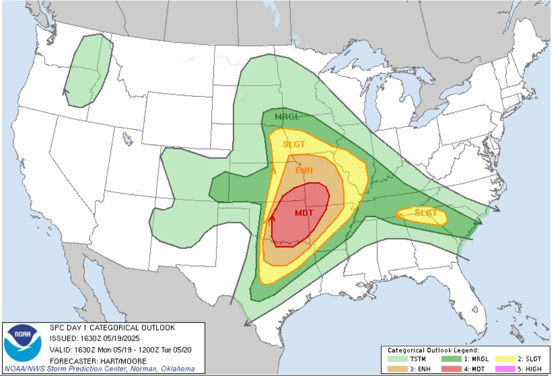
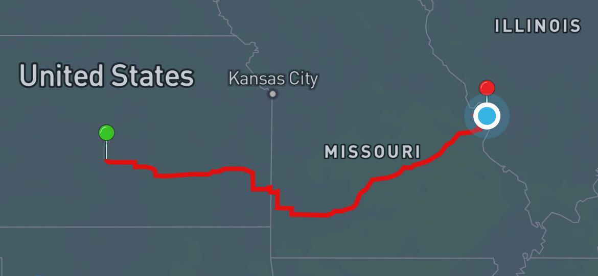
After
some discussion about whether to play the storms
along the Interstate 70 corridor or along the
Interstate 44 corridor as the storm system worked
its way into Missouri. We chose the Interstate
44 corridor. We knew the viewing was better
along Interstate 70, but the storm parameters were
better in the Moderate risk along Interstate 44.
We worked our way
east, and then south as we moved toward Interstate
44. We stopped in Iola, Kansas, grabbed lunch
at the Sonic, and found a Riverside Park to enjoy
the sandwich as we watched the radar. A storm
that we had been watching approached with a Severe
Thunderstorm Warning.
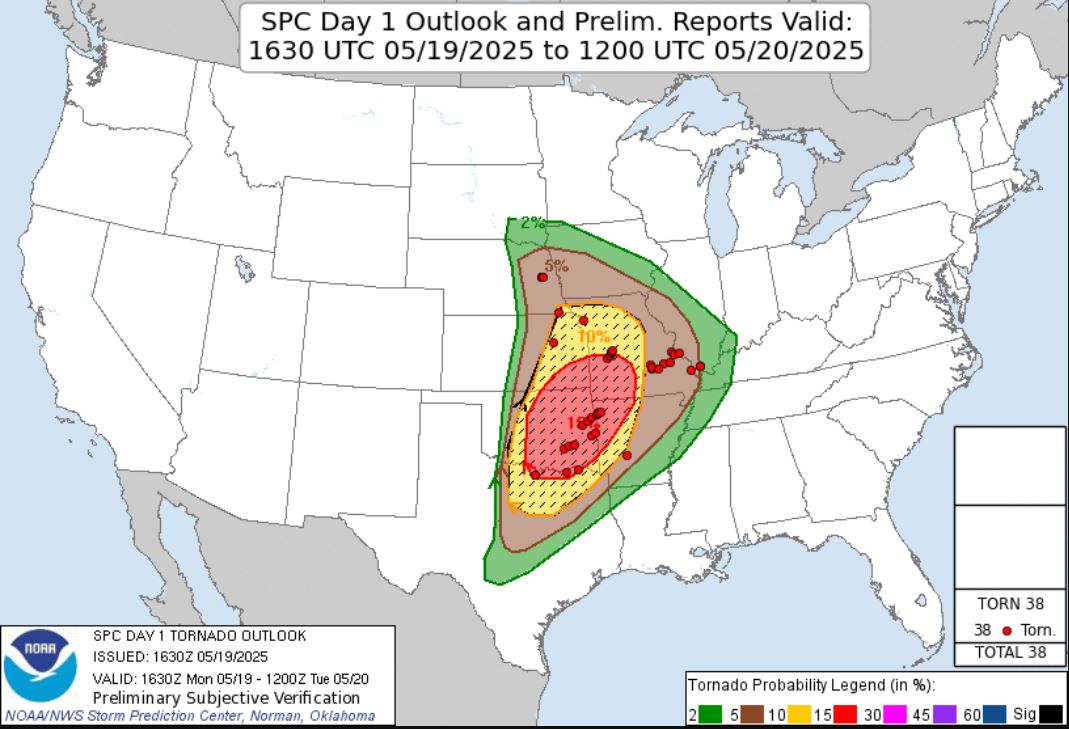
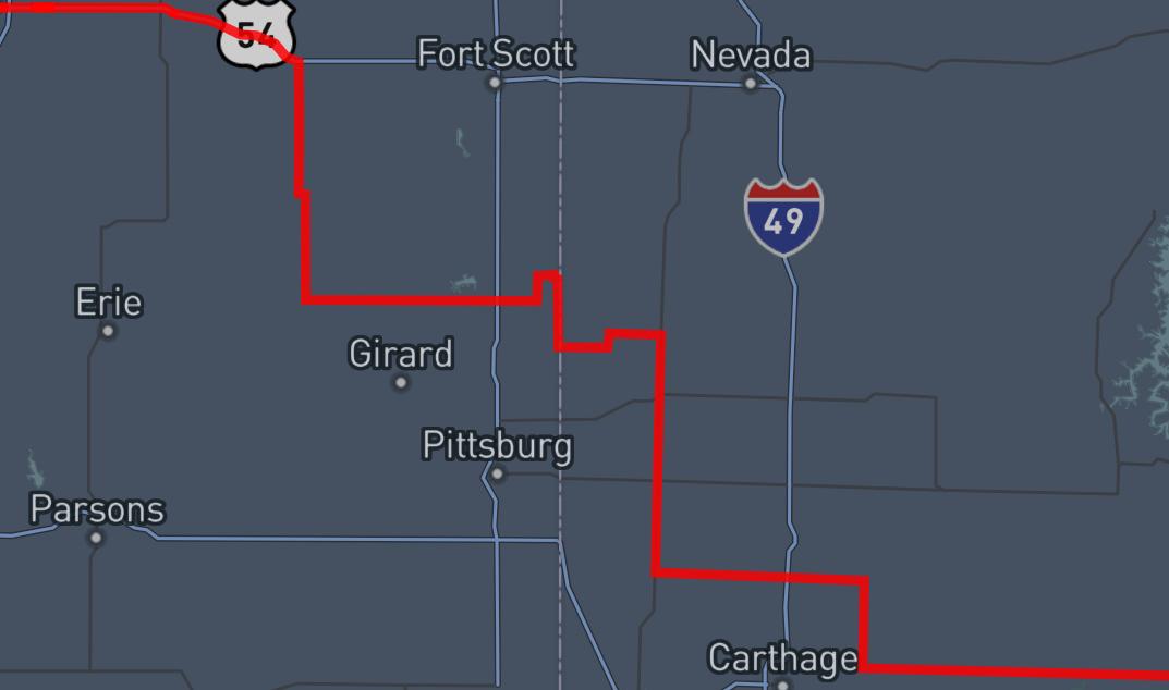
As
nothing appeared to be close to Tornadic, we
followed the storm and drove through the backside of
the core to see what size hail it was
producing. There were many 1.00", but there
were some 1.25" hailstones. The rain was so
intense with the falling hail, no clear pictures
were gotten.
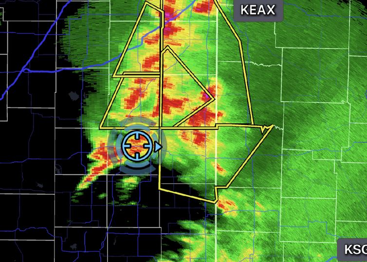
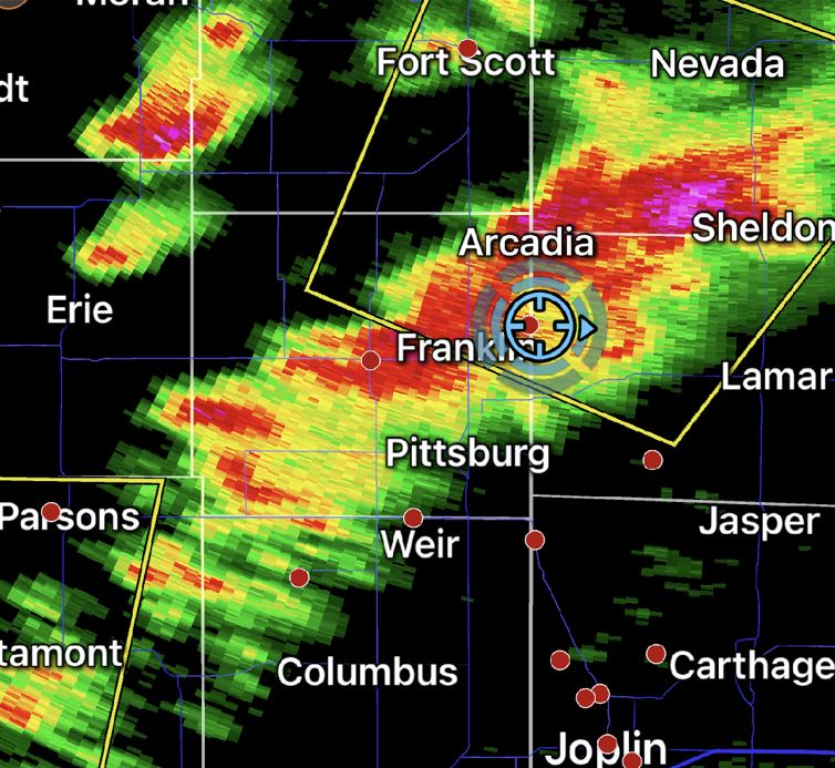
We continued on
toward Interstate 44 weaving through some backroads
east and south as the storm system just turned into
a line of heavy rain. The rain continued to
expand as we hit the Interstate making for a very
wet trip home.
After
we arrived home, Tornadic storms
developed in the counties to the south
of St. Louis with several confirmed
touchdowns.
 May 19, 2025